 |
 |
   |
|
|
|
out of sight |
|
Dryevers |
| Street:- |
Brackenslack Lane |
| civil parish:- |
Crosby Ravensworth (formerly Westmorland) |
| county:- |
Cumbria |
| locality type:- |
buildings |
| coordinates:- |
NY64531744 |
| 1Km square:- |
NY6417 |
| 10Km square:- |
NY61 |
|
|
| evidence:- |
old map:- Saxton 1579
placename:- Drivevers
|
| source data:- |
Map, hand coloured engraving, Westmorlandiae et Cumberlandiae Comitatus ie Westmorland
and Cumberland, scale about 5 miles to 1 inch, by Christopher Saxton, London, engraved
by Augustinus Ryther, 1576, published 1579-1645.
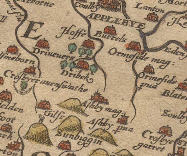
Sax9NY61.jpg
Building, symbol for a hamlet, which may or may not have a nucleus. "Drivevers"
item:- private collection : 2
Image © see bottom of page
|
|
|
| evidence:- |
old map:- Speed 1611 (Wmd)
placename:- Drivevers
|
| source data:- |
Map, hand coloured engraving, The Countie Westmorland and
Kendale the Cheif Towne, scale about 2.5 miles to 1 inch, by
John Speed, 1610, published by George Humble, Popes Head Alley,
London, 1611-12.
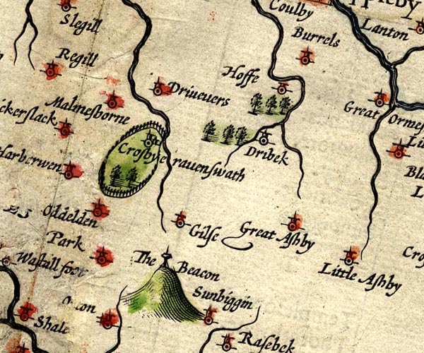
SP14NY61.jpg
"Drivevers"
circle, tower
item:- Armitt Library : 2008.14.5
Image © see bottom of page
|
|
|
| evidence:- |
old map:- Jansson 1646
placename:- Drivevers
|
| source data:- |
Map, hand coloured engraving, Cumbria and Westmoria, ie
Cumberland and Westmorland, scale about 3.5 miles to 1 inch, by
John Jansson, Amsterdam, Netherlands, 1646.
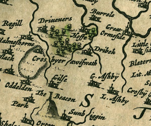
JAN3NY61.jpg
"Drivevers"
Buildings and tower.
item:- JandMN : 88
Image © see bottom of page
|
|
|
| evidence:- |
old map:- Morden 1695 (Wmd)
placename:- Driveners
|
| source data:- |
Map, hand coloured engraving, Westmorland, scale about 2.5 miles to 1 inch, by Robert
Morden, published by Abel Swale, the Unicorn, St Paul's Churchyard, Awnsham, and John
Churchill, the Black Swan, Paternoster Row, London, 1695.
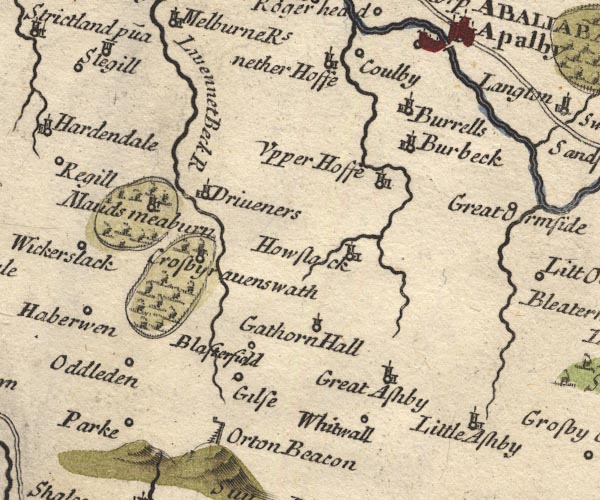
MD10NY61.jpg
"Driveners"
Circle, building and tower.
item:- JandMN : 24
Image © see bottom of page
|
|
|
| evidence:- |
old map:- Simpson 1746 map (Wmd)
placename:- Drivenen
|
| source data:- |
Map, uncoloured engraving, Westmorland, scale about 8 miles to 1
inch, printed by R Walker, Fleet Lane, London, 1746.
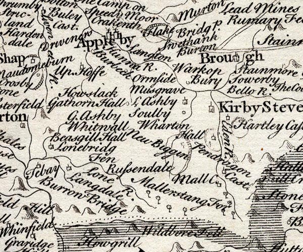
SMP2NYQ.jpg
"Drivenen"
item:- Dove Cottage : 2007.38.59
Image © see bottom of page
|
|
|
| evidence:- |
old map:- Bowen and Kitchin 1760
placename:- Drivenen
|
| source data:- |
Map, hand coloured engraving, A New Map of the Counties of
Cumberland and Westmoreland Divided into their Respective Wards,
scale about 4 miles to 1 inch, by Emanuel Bowen and Thomas
Kitchin et al, published by T Bowles, Robert Sayer, and John
Bowles, London, 1760.
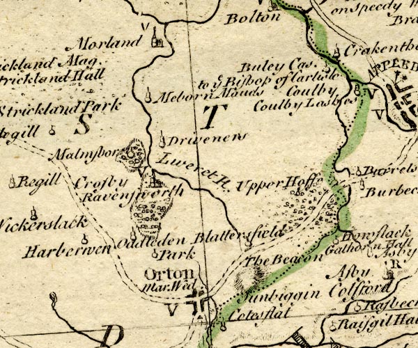
BO18NY51.jpg
"Drivenen"
circle, tower
item:- Armitt Library : 2008.14.10
Image © see bottom of page
|
|
|
| evidence:- |
old map:- Jefferys 1770 (Wmd)
placename:- Drievers
|
| source data:- |
Map, 4 sheets, The County of Westmoreland, scale 1 inch to 1
mile, surveyed 1768, and engraved and published by Thomas
Jefferys, London, 1770.
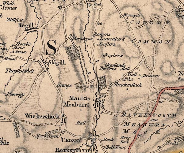
J5NY61NW.jpg
"Drievers"
circle, labelled in italic lowercase text; settlement, farm, house, or hamlet?
item:- National Library of Scotland : EME.s.47
Image © National Library of Scotland |
|
|
| evidence:- |
database:- Listed Buildings 2010
placename:- Dryevers Farm
item:- date stone (1862)
|
| source data:- |
courtesy of English Heritage
"DRYEVERS FARMHOUSE WITH ADJOINING COACH HOUSE, FORECOURT WALLS, RAILINGS, AND GATE
/ / BRACKENSLACK LANE / CROSBY RAVENSWORTH / EDEN / CUMBRIA / II / 74028 / NY6453417448"
|
|
|


 Lakes Guides menu.