 Old Cumbria Gazetteer
 |
 |
|
| Dropping Crag, Nether Wasdale | ||
| Dropping Crag | ||
| locality:- | Wasdale | |
| civil parish:- | Nether Wasdale (formerly Cumberland) | |
| county:- | Cumbria | |
| locality type:- | rocks | |
| coordinates:- | NY16900768 | |
| 1Km square:- | NY1607 | |
| 10Km square:- | NY10 | |
|
|
||
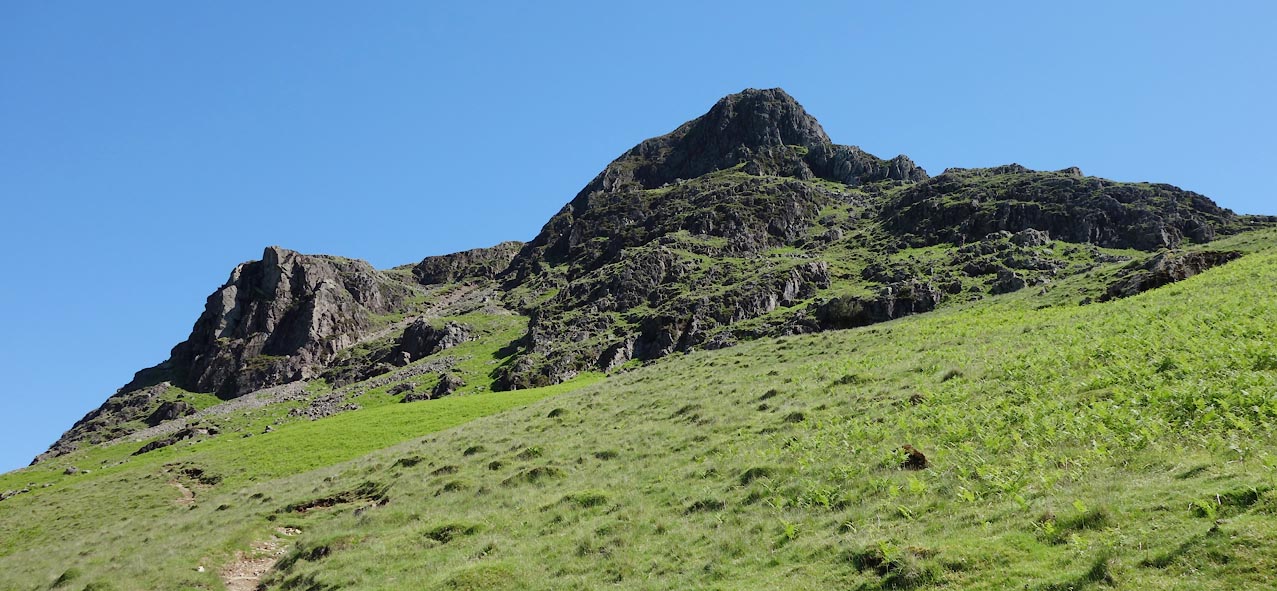 Click to enlarge BYO47.jpg On Yewbarrow. (taken 18.6.2013) |
||
|
|
||
| evidence:- | old map:- OS County Series (Cmd 74 14) placename:- Dropping Crag |
|
| source data:- | Maps, County Series maps of Great Britain, scales 6 and 25
inches to 1 mile, published by the Ordnance Survey, Southampton,
Hampshire, from about 1863 to 1948. |
|
|
|
||
 Lakes Guides menu.