 Old Cumbria Gazetteer
 |
 |
|
| Dow Crag, Eskdale | ||
| Dow Crag | ||
| Esk Buttress | ||
| civil parish:- | Eskdale (formerly Cumberland) | |
| county:- | Cumbria | |
| locality type:- | rocks | |
| coordinates:- | NY22200650 (etc) | |
| 1Km square:- | NY2206 | |
| 10Km square:- | NY20 | |
|
|
||
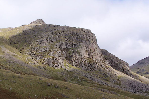
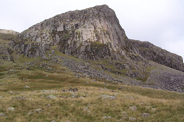 BRM57.jpg (taken 14.9.2009) 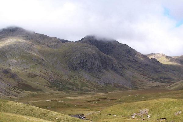 BRM55.jpg Ill Crag in the cloud behind. (taken 14.9.2009) |
||
|
|
||
| evidence:- | old map:- OS County Series (Cmd 74 16) placename:- Dow Crag |
|
| source data:- | Maps, County Series maps of Great Britain, scales 6 and 25
inches to 1 mile, published by the Ordnance Survey, Southampton,
Hampshire, from about 1863 to 1948. |
|
|
|
||
 BRM56.jpg Pen peeping out behind. (taken 14.9.2009) 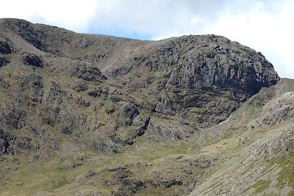 BYN12.jpg (taken 4.6.2013) 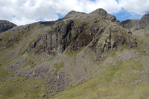 BYN15.jpg (taken 4.6.2013) 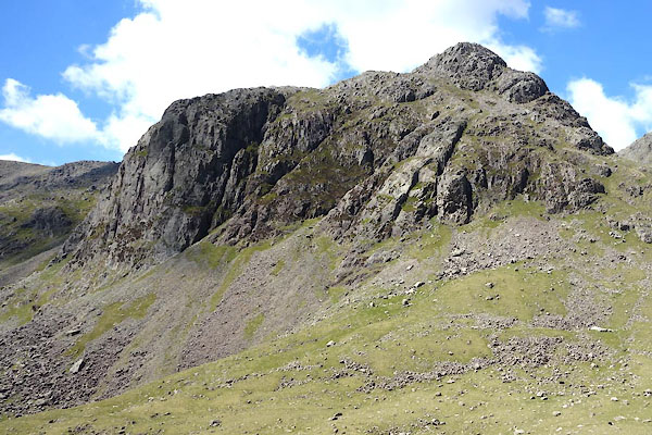 BYN16.jpg and Pen. (taken 4.6.2013) |
||
|
|
||
 Lakes Guides menu.