 Old Cumbria Gazetteer
 |
 |
|
| Dodd Wood, Blindbothel | ||
| Dodd Wood | ||
| locality:- | Broadmoor Hill | |
| civil parish:- | Blindbothel (formerly Cumberland) | |
| county:- | Cumbria | |
| locality type:- | wood | |
| coordinates:- | NY14462462 (etc) | |
| 1Km square:- | NY1424 | |
| 10Km square:- | NY12 | |
|
|
||
 BXK34.jpg (taken 23.9.2012) |
||
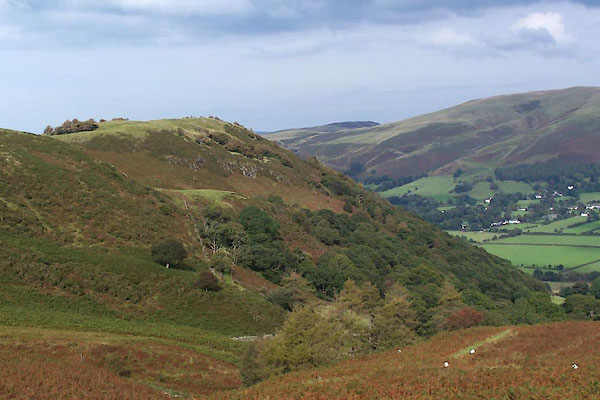
| On the side of Broadmoor Hill. |
||
|
|
||
| evidence:- | old map:- OS County Series (Cmd 63 1) placename:- Dod Wood |
|
| source data:- | Maps, County Series maps of Great Britain, scales 6 and 25
inches to 1 mile, published by the Ordnance Survey, Southampton,
Hampshire, from about 1863 to 1948. |
|
|
|
||
 Lakes Guides menu.