 |
 |
|
|
|
| runs into:- |
 Thirlmere Thirlmere |
|
|
|
|
| civil parish:- |
St John's Castlerigg and Wythburn (formerly Cumberland) |
| county:- |
Cumbria |
| locality type:- |
river |
| 1Km square:- |
NY3113 (etc) |
| 10Km square:- |
NY31 |
|
|
|
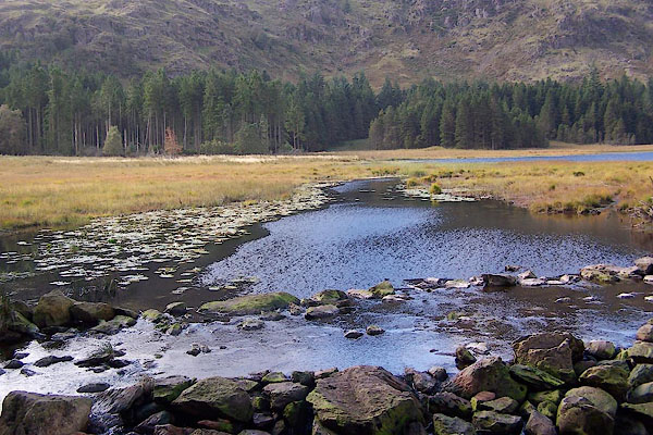
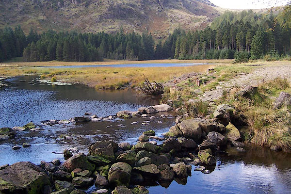
BRP65.jpg Near the exit from Harrop Tarn,
(taken 23.9.2009)
|
|
|
| evidence:- |
old map:- OS County Series (Cmd 70 16)
placename:- Dob Gill
|
| source data:- |
Maps, County Series maps of Great Britain, scales 6 and 25
inches to 1 mile, published by the Ordnance Survey, Southampton,
Hampshire, from about 1863 to 1948.
|
|
|
| places:- |
 |
NY31251367 ford, St John's Castlerigg etc (St John's Castlerigg and Wythburn) |
|
|
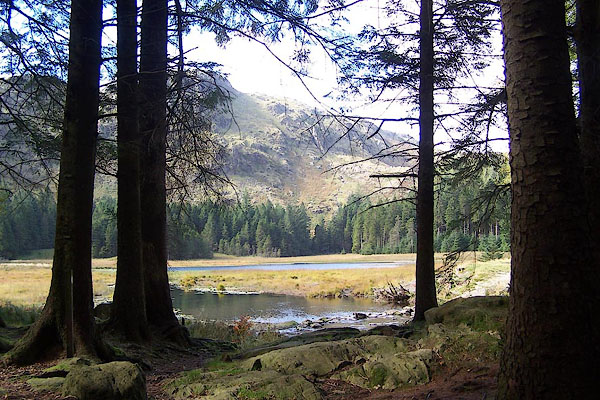 |
NY31121362 Harrop Tarn (St John's Castlerigg and Wythburn) |
|
|
|
NY313132 waterfall, Dob Gill (St John's Castlerigg and Wythburn) |
|
