 Old Cumbria Gazetteer
 |
 |
|
| Deergarth How Island, Thirlmere | ||
| Deergarth How Island | ||
| Deergarth How | ||
| site name:- | Thirlmere | |
| civil parish:- | St John's Castlerigg and Wythburn (formerly Cumberland) | |
| county:- | Cumbria | |
| locality type:- | island | |
| coordinates:- | NY31001631 | |
| 1Km square:- | NY3016 | |
| 10Km square:- | NY31 | |
| SummaryText:- | Would not have been an island in Leathes Water. | |
|
|
||
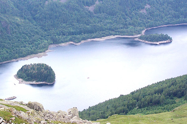 BRB43.jpg Hawes How Island and Deergarth How Island. (taken 9.7.2009) |
||
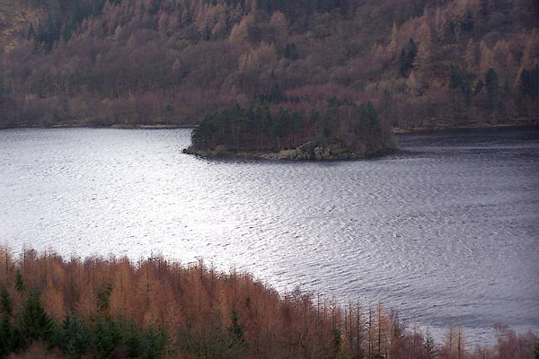 BLQ08.jpg Winter; dull. (taken 15.2.2006) |
||
|
|
||
| evidence:- | old map:- OS County Series (Cmd 70 8) placename:- Deergarth How |
|
| source data:- | Maps, County Series maps of Great Britain, scales 6 and 25
inches to 1 mile, published by the Ordnance Survey, Southampton,
Hampshire, from about 1863 to 1948. |
|
|
|
||
 Lakes Guides menu.