Old Cumbria Gazetteer
 |
 |
|
||
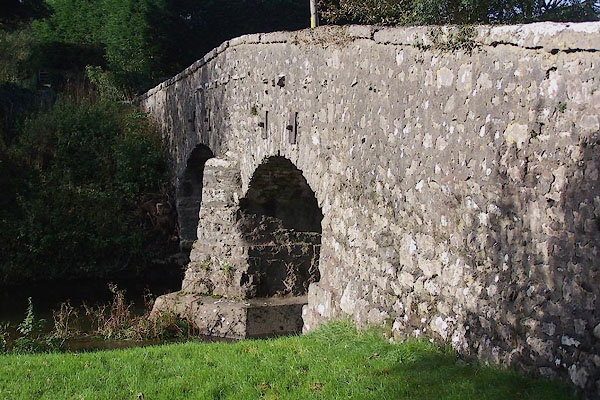
| Deepthwaite, Heversham | ||||
| Deepthwaite | ||||
| civil parish:- | Heversham (formerly Westmorland) | |||
| civil parish:- | Preston Richard (formerly Westmorland) | |||
| county:- | Cumbria | |||
| locality type:- | locality | |||
| locality type:- | buildings | |||
| coordinates:- | SD51878339 (etc) | |||
| 1Km square:- | SD5183 | |||
| 10Km square:- | SD58 | |||
|
|
||||
| evidence:- | old map:- OS County Series (Wmd 42 16) placename:- Deepthwaite |
|||
| source data:- | Maps, County Series maps of Great Britain, scales 6 and 25
inches to 1 mile, published by the Ordnance Survey, Southampton,
Hampshire, from about 1863 to 1948. |
|||
|
|
||||
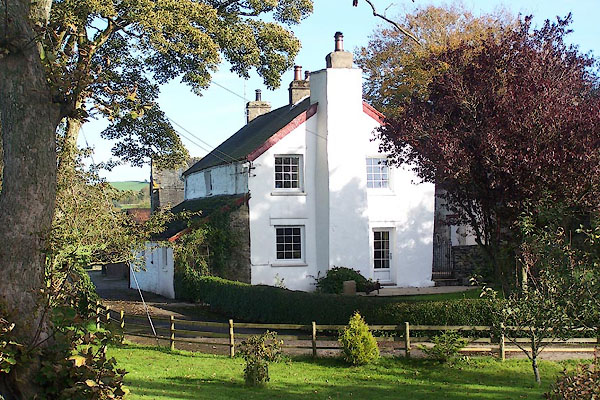
| evidence:- | descriptive text:- Ford 1839 (3rd edn 1843) placename:- Deepthwaite |
|||
| source data:- | Guide book, A Description of Scenery in the Lake District, by
Rev William Ford, published by Charles Thurnam, Carlisle, by W
Edwards, 12 Ave Maria Lane, Charles Tilt, Fleet Street, William
Smith, 113 Fleet Street, London, by Currie and Bowman,
Newcastle, by Bancks and Co, Manchester, by Oliver and Boyd,
Edinburgh, and by Sinclair, Dumfries, 1839. goto source goto sourcePage 153:- "..." "[Heversham] ... Near this are three pleasant villas - Plumptree Bank,- Wilson, Esq.; Plumptree Hall,- Pedder, Esq.; and Deepthwaite,- Bindloss, Esq." |
|||
|
|
||||
| places:- |
|
|||
|
||||
Lakes Guides menu.