 Old Cumbria Gazetteer
 |
 |
|
| Deepdale, Dent | ||
| Deepdale | ||
| civil parish:- | Dent (formerly Yorkshire) | |
| county:- | Cumbria | |
| locality type:- | valley | |
| coordinates:- | SD72518427 (etc) | |
| 1Km square:- | SD7284 | |
| 10Km square:- | SD78 | |
|
|
||
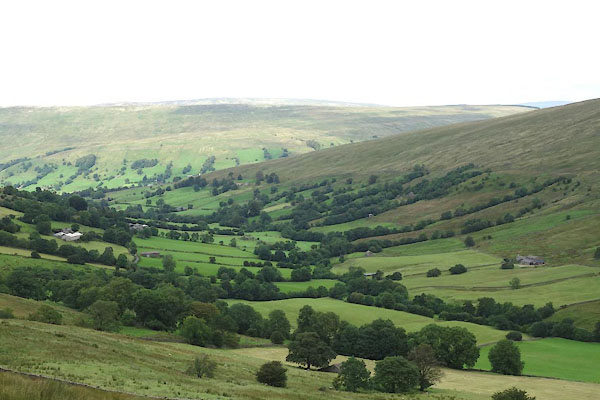 CDT78.jpg (taken 25.8.2015) 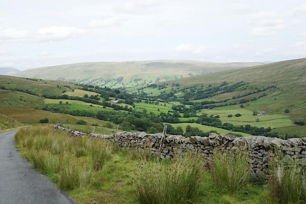 CDT77.jpg (taken 25.8.2015) |
||
|
|
||
| evidence:- | old map:- OS County Series (Yrk 80 2) placename:- Deepdale |
|
| source data:- | Maps, County Series maps of Great Britain, scales 6 and 25
inches to 1 mile, published by the Ordnance Survey, Southampton,
Hampshire, from about 1863 to 1948. |
|
|
|
||
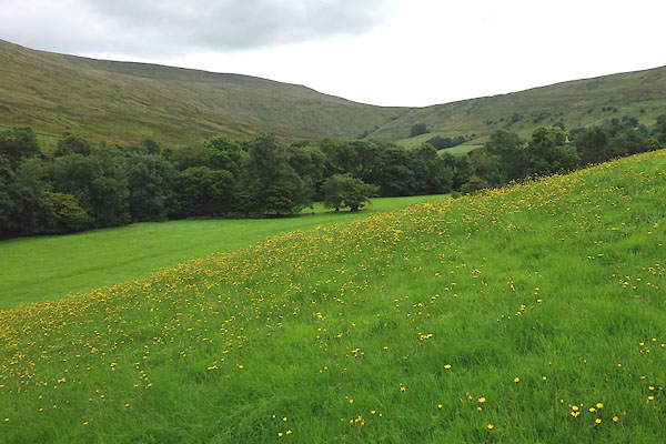 CDT93.jpg (taken 25.8.2015) 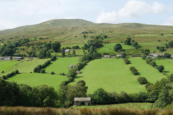 CDU02.jpg Meadows. (taken 25.8.2015) |
||
|
|
||
 Lakes Guides menu.