Old Cumbria Gazetteer
 |
 |
|
||
| Deepdale Beck (2) | ||||
| Deepdale Beck | ||||
| civil parish:- | Dent (formerly Yorkshire) | |||
| county:- | Cumbria | |||
| locality type:- | river | |||
| 1Km square:- | SD7286 (etc?) | |||
| 10Km square:- | SD78 | |||
|
|
||||
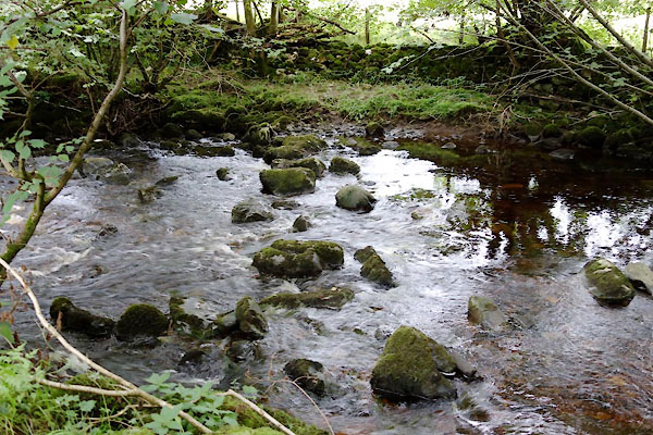
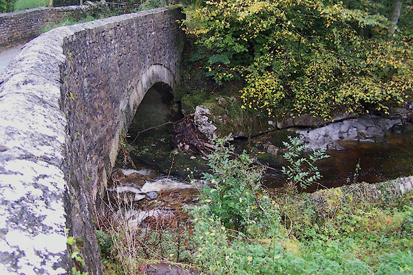
 CDT75.jpg near Combe Bottom. (taken 25.8.2015) 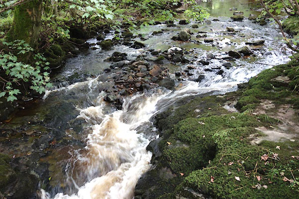 CDU06.jpg At stepping stones and footbridge, (taken 25.8.2015) 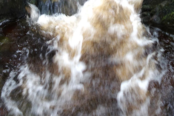 CDU08.jpg At stepping stones and footbridge, (taken 25.8.2015) |
||||
|
|
||||
| evidence:- | old map:- OS County Series (Yrk 80 2) placename:- Deepdale Beck |
|||
| source data:- | Maps, County Series maps of Great Britain, scales 6 and 25
inches to 1 mile, published by the Ordnance Survey, Southampton,
Hampshire, from about 1863 to 1948. |
|||
|
|
||||
| evidence:- | old map:- Balderston c1890 map placename:- Deep Dale Beck |
|||
| source data:- | Map, the hills in the Ingleton area, probably by Robert R
Balderston, engraved by Goodall and Suddick, Leeds, West
Yorkshire, about 1890.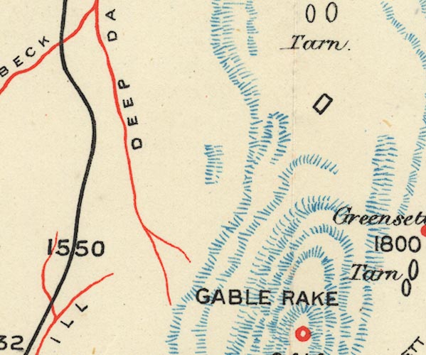 BS1SD78G.jpg "DEEP DALE BECK" item:- private collection : 27.1 Image © see bottom of page |
|||
|
|
||||
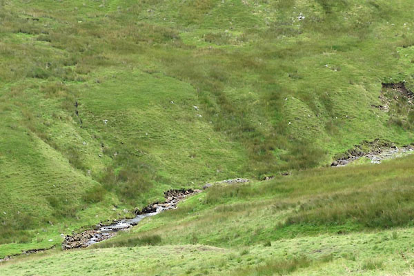
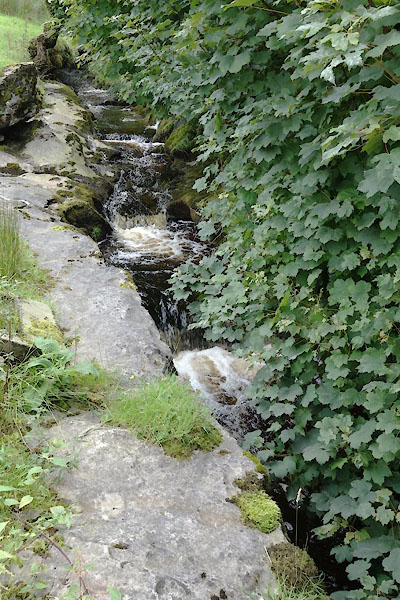 CDT70.jpg Near Deepdale Head, (taken 25.8.2015) 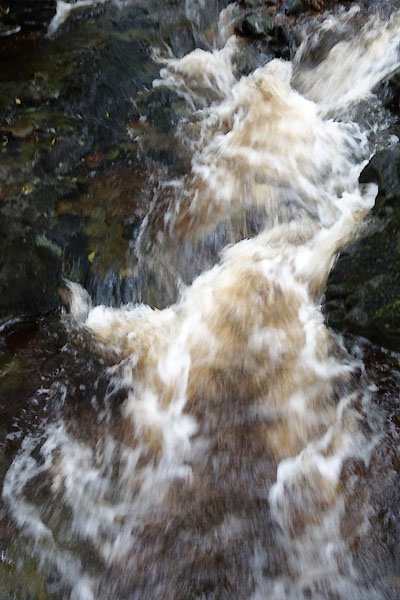 CDU07.jpg At stepping stones and footbridge, (taken 25.8.2015) |
||||
|
|
||||
| places:- |
|
|||
|
||||
|
||||
 Lakes Guides menu.