 Old Cumbria Gazetteer
 |
 |
|
| Davy Bank, Firbank | ||
| Davy Bank | ||
| civil parish:- | Firbank (formerly Westmorland) | |
| county:- | Cumbria | |
| locality type:- | buildings | |
| coordinates:- | SD61759613 | |
| 1Km square:- | SD6196 | |
| 10Km square:- | SD69 | |
|
|
||
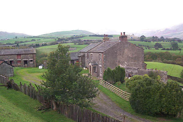 BMW81.jpg (taken 20.10.2006) 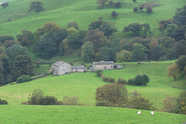 BMW82.jpg (taken 20.10.2006) |
||
|
|
||
| evidence:- | old map:- OS County Series (Wmd 34 16) placename:- Davy Bank |
|
| source data:- | Maps, County Series maps of Great Britain, scales 6 and 25
inches to 1 mile, published by the Ordnance Survey, Southampton,
Hampshire, from about 1863 to 1948. |
|
|
|
||
| evidence:- | old map:- Hall 1820 (Wmd) placename:- Dovy Bank |
|
| source data:- | Map, hand coloured engraving, Westmoreland ie Westmorland, scale
about 14.5 miles to 1 inch, by Sidney Hall, London, 1820,
published by Samuel Leigh, 18 Strand, London, 1820-31. click to enlarge click to enlargeHA18.jpg "Dovy Bank" circle, italic lowercase text; settlement item:- Armitt Library : 2008.14.58 Image © see bottom of page |
|
|
|
||
 Lakes Guides menu.