 Old Cumbria Gazetteer
 |
 |
|
| Dale Head, Dunnerdale-with-Seathwaite | ||
| Dale Head | ||
| civil parish:- | Dunnerdale-with-Seathwaite (formerly Lancashire) | |
| county:- | Cumbria | |
| locality type:- | buildings | |
| coordinates:- | NY24150074 | |
| 1Km square:- | NY2400 | |
| 10Km square:- | NY20 | |
|
|
||
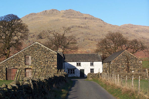 BLK38.jpg (taken 17.11.2005) 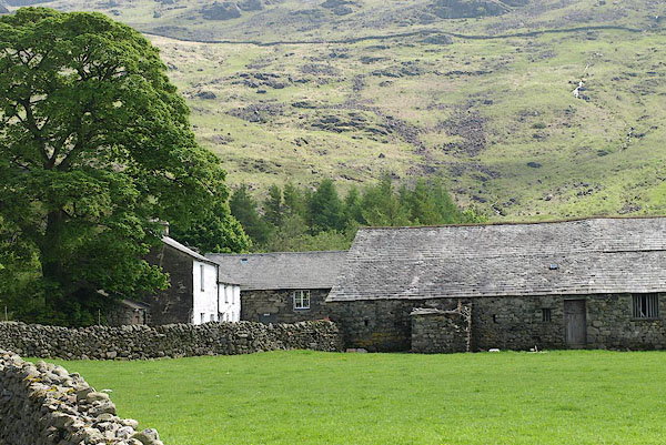 BQO58.jpg (taken 29.5.2009) |
||
|
|
||
| evidence:- | old map:- Donald 1774 (Cmd) placename:- Dale Head |
|
| source data:- | Map, hand coloured engraving, 3x2 sheets, The County of Cumberland, scale about 1
inch to 1 mile, by Thomas Donald, engraved and published by Joseph Hodskinson, 29
Arundel Street, Strand, London, 1774.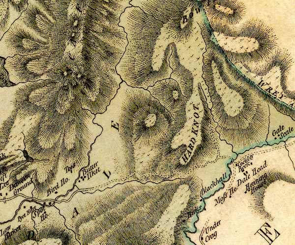 D4NY20SW.jpg "Dale Head" block or blocks, labelled in lowercase; a hamlet or just a house item:- Carlisle Library : Map 2 Image © Carlisle Library |
|
|
|
||
| evidence:- | database:- Listed Buildings 2010 placename:- Dale Head |
|
| source data:- | courtesy of English Heritage "DALE HEAD / / / DUNNERDALE WITH SEATHWAITE / SOUTH LAKELAND / CUMBRIA / II / 75842 / NY2414000640" |
|
|
|
||
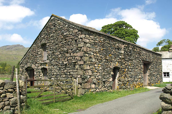 BQO59.jpg (taken 29.5.2009) 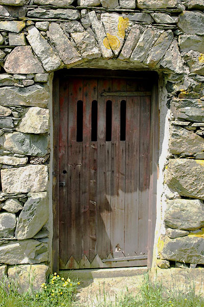 BQO60.jpg (taken 29.5.2009) |
||
|
|
||
 Lakes Guides menu.