 Old Cumbria Gazetteer
 |
 |
|
| Cumpston Hill, Mallerstang | ||
| Cumpston Hill | ||
| locality:- | Mallerstang | |
| civil parish:- | Mallerstang (formerly Westmorland) | |
| county:- | Cumbria | |
| locality type:- | buildings | |
| coordinates:- | SD77879767 | |
| 1Km square:- | SD7797 | |
| 10Km square:- | SD79 | |
|
|
||
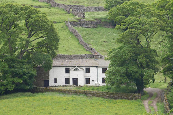 BQV47.jpg (taken 18.6.2009) 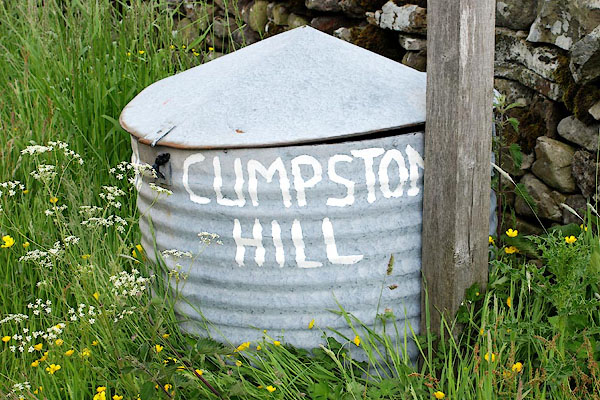 BQV48.jpg Sign by the road, "CUMPSTON / HILL" (taken 18.6.2009) |
||
|
|
||
| evidence:- | old map:- OS County Series (Wmd 36 7) placename:- Cumpston Hill |
|
| source data:- | Maps, County Series maps of Great Britain, scales 6 and 25
inches to 1 mile, published by the Ordnance Survey, Southampton,
Hampshire, from about 1863 to 1948. |
|
|
|
||
 Lakes Guides menu.