 |
 |
   |
|
|
|
|
| county:- |
Cumbria |
| locality type:- |
hill |
|
|
| evidence:- |
old map:- Gough 1350s-60s
|
| source data:- |
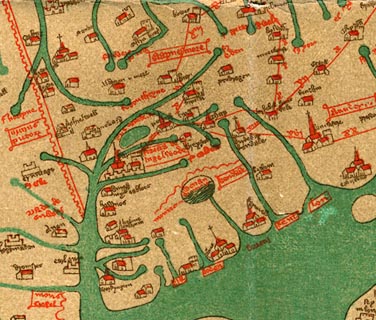
Map, colour photozincograph copy, reduced size facsimile, Gough
Map of Britain, scale about 28.5 miles to 1 inch, published by
the Ordnance Survey, Southampton, Hampshire, 1875.
 click to enlarge click to enlarge
Ggh1Cm.jpg
"montes ...m..."
Labelling a mountain range north, east and south of Windermere, drawn as a line of
humps.
item:- JandMN : 33
Image © see bottom of page
|
|
|
| evidence:- |
old map:- Gough 1350s-60s
|
| source data:- |
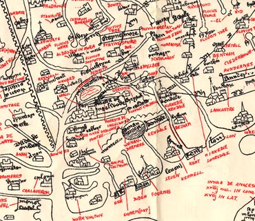
Map, lithograph facsimile, Gough Map of Britain, 20 miles to 1
inch? published by the Ordnance Survey, Southampton, Hampshire,
1935.
 click to enlarge click to enlarge
Ggh2Cm.jpg
"montes ...m..."
Labelling a mountain range north, east and south of Windermere, drawn as a line of
humps.
item:- JandMN : 34
Image © see bottom of page
|
|
|


 click to enlarge
 click to enlarge
 Lakes Guides menu.