Old Cumbria Gazetteer
 |
 |
|
||
| Crosdale Beck | ||||
| locality:- | Crosdale | |||
| civil parish:- | Sedbergh (formerly Yorkshire) | |||
| county:- | Cumbria | |||
| locality type:- | river | |||
| 1Km square:- | SD6493 (etc) | |||
| 10Km square:- | SD69 | |||
|
|
||||
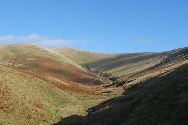
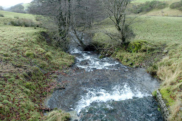
 BRI41.jpg (taken 27.8.2009) 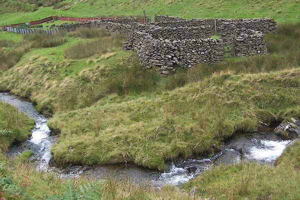 BRI36.jpg By the sheepfold, (taken 27.8.2009) |
||||
|
|
||||
| evidence:- | old map:- OS County Series (Yrk 48 14) placename:- Crosdale Beck |
|||
| source data:- | Maps, County Series maps of Great Britain, scales 6 and 25
inches to 1 mile, published by the Ordnance Survey, Southampton,
Hampshire, from about 1863 to 1948. OS County Series (Yrk 48 15) |
|||
|
|
||||
| evidence:- | possibly old map:- Jefferys 1770 (Wmd) |
|||
| source data:- | Map, 4 sheets, The County of Westmoreland, scale 1 inch to 1
mile, surveyed 1768, and engraved and published by Thomas
Jefferys, London, 1770.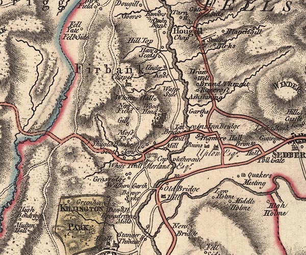 J5SD69SW.jpg single or double wiggly line; river item:- National Library of Scotland : EME.s.47 Image © National Library of Scotland |
|||
|
|
||||
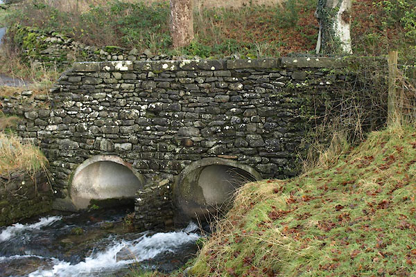
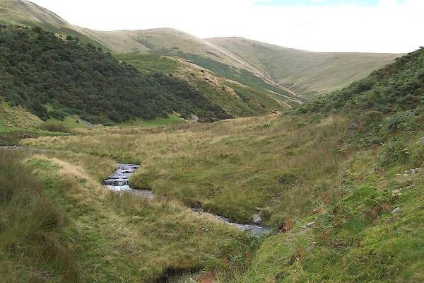
 BXR11.jpg At Huds Bridge, (taken 23.11.2012) 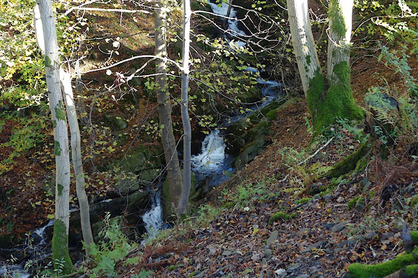 CCA33.jpg In Craggstone Wood. (taken 5.11.2014) |
||||
|
|
||||
| places:- |
|
|||
|
||||
 Lakes Guides menu.