 Old Cumbria Gazetteer
 |
 |
|
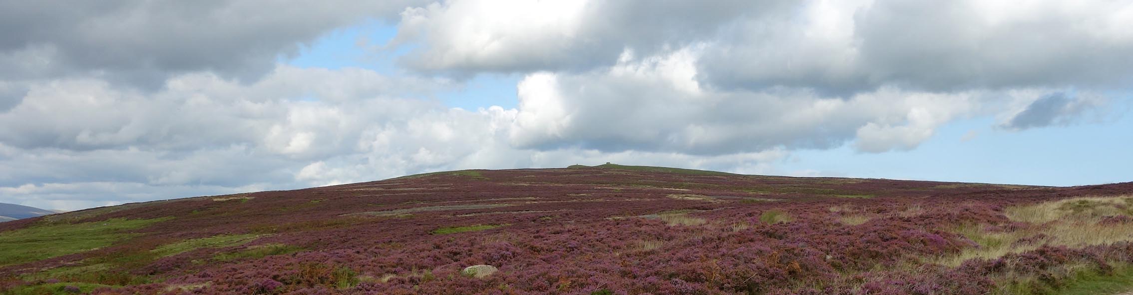
| Crosby Ravensworth Fell, Crosby Ravensworth | ||
| Crosby Ravensworth Fell | ||
| civil parish:- | Crosby Ravensworth (formerly Westmorland) | |
| county:- | Cumbria | |
| locality type:- | hill | |
| locality type:- | fell | |
| coordinates:- | NY60581110 (etc) | |
| 1Km square:- | NY6011 | |
| 10Km square:- | NY61 | |
|
|
||
 Click to enlarge CGM27.jpg (taken 2.9.2017) |
||
|
|
||
| evidence:- | old map:- OS County Series (Wmd 21 11) placename:- Crosby Ravensworth Fell |
|
| source data:- | Maps, County Series maps of Great Britain, scales 6 and 25
inches to 1 mile, published by the Ordnance Survey, Southampton,
Hampshire, from about 1863 to 1948. OS County Series (Wmd 21 12) |
|
|
|
||
| evidence:- | old map:- Laurie and Whittle 1806 placename:- Ravensworth Moor |
|
| source data:- | Road map, Continuation of the Roads to Glasgow and Edinburgh,
scale about 10 miles to 1 inch, by Nathaniel Coltman? 1806,
published by Robert H Laurie, 53 Fleet Street, London, 1834. click to enlarge click to enlargeLw21.jpg "Ravensworth &Meaburn Moor" area item:- private collection : 18.21 Image © see bottom of page |
|
|
|
||
| hearsay:- |
The gate to the fell has an inscription:- |
|
| "Gederen thi yows up, or laiten t' beeas in, Whaerivva thoo's gan, Whaerivva thoo's bin, Whee-ivva thoo is, owdther thin er else fat - Thoo maut gang awae till thoos shutten this yat!" |
||
| Just now (July 2010) the inscription has been taken away to be repainted and is lying
in the porch of a house. |
||
|
|
||
 Lakes Guides menu.