 Old Cumbria Gazetteer
 |
 |
|
| Copeland | ||
| civil parish:- | Nether Wasdale (formerly Cumberland) | |
| county:- | Cumbria | |
| locality type:- | locality | |
| 10Km square:- | NY10 (etc) | |
| 1Km square:- | NY1000 | |
| 10Km square:- | NY10 | |
|
|
||
| evidence:- | old map:- Lloyd 1573 placename:- Copland |
|
| source data:- | Map, hand coloured copper plate engraving, Angliae Regni,
Kingdom of England, with Wales, scale about 24 miles to 1 inch, authored by Humphrey
Lloyd, Denbigh, Clwyd, drawn and engraved
by Abraham Ortelius, Netherlands, 1573. click to enlarge click to enlargeLld1Cm.jpg "COPLAND." item:- Hampshire Museums : FA1998.69 Image © see bottom of page |
|
|
|
||
| evidence:- | old map:- Saxton 1579 placename:- Copeland |
|
| source data:- | Map, hand coloured engraving, Westmorlandiae et Cumberlandiae Comitatus ie Westmorland
and Cumberland, scale about 5 miles to 1 inch, by Christopher Saxton, London, engraved
by Augustinus Ryther, 1576, published 1579-1645.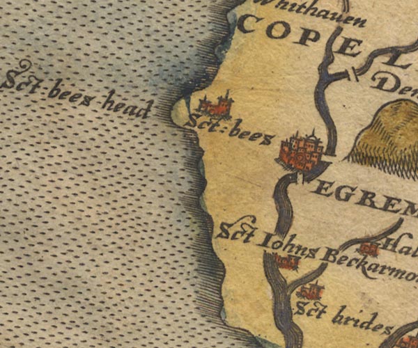 Sax9NX91.jpg 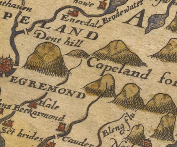 Sax9NY01.jpg "COPELAND" Area. item:- private collection : 2 Image © see bottom of page |
|
|
|
||
| evidence:- | descriptive text:- Keer 1605 (edn 1620) placename:- Copland |
|
| source data:- | Map, Westmorlandia et Comberlandia, ie Westmorland and
Cumberland now Cumbria, scale about 16 miles to 1 inch, probably
by Pieter van den Keere, or Peter Keer, about 1605, published
about 1605 to 1676. goto source goto sourcefirst page:- "[Cumberland] ... the South, which part it is altogether pestred with copped-hilles, and therefore hath the name of Copland." |
|
|
|
||
| evidence:- | old map:- Jansson 1646 |
|
| source data:- | Map, hand coloured engraving, Cumbria and Westmoria, ie
Cumberland and Westmorland, scale about 3.5 miles to 1 inch, by
John Jansson, Amsterdam, Netherlands, 1646.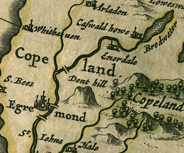 JAN3NY01.jpg no symbol, just an area item:- JandMN : 88 Image © see bottom of page |
|
|
|
||
| evidence:- | old map:- Morden 1695 (Cmd) placename:- Copeland |
|
| source data:- | Map, uncoloured engraving, Cumberland, scale about 4 miles to 1
inch, by Robert Morden, 1695, published by Abel Swale, the
Unicorn, St Paul's Churchyard, Awnsham, and John Churchill, the
Black Swan, Paternoster Row, London, 1695-1715.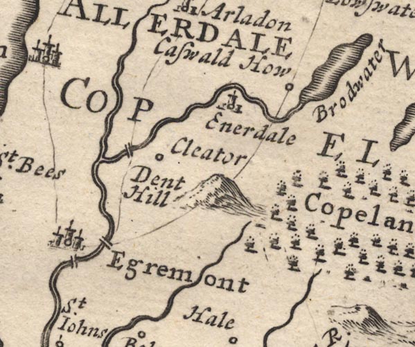 MD12NY01.jpg "COPELAND" Area. item:- JandMN : 90 Image © see bottom of page |
|
|
|
||
| evidence:- | old text:- Camden 1789 placename:- Copeland placename:- Coupland placename:- Copperland item:- placename, Copeland; copper |
|
| source data:- | Book, Britannia, or A Chorographical Description of the Flourishing Kingdoms of England,
Scotland, and Ireland, by William Camden, 1586, translated from the 1607 Latin edition
by Richard Gough, published London, 1789. goto source Page 169:- "..." "The south part of this county is called Copeland and Coupland, because it rises in pointed mountains, which the British call Kopa, or as others think Copeland for Copperland, from its rich veins of copper. ..." |
|
|
|
||
| evidence:- | old map:- Ford 1839 map placename:- Copeland |
|
| source data:- | Map, uncoloured engraving, Map of the Lake District of
Cumberland, Westmoreland and Lancashire, scale about 3.5 miles
to 1 inch, published by Charles Thurnam, Carlisle, and by R
Groombridge, 5 Paternoster Row, London, 3rd edn 1843. "COPELAND" 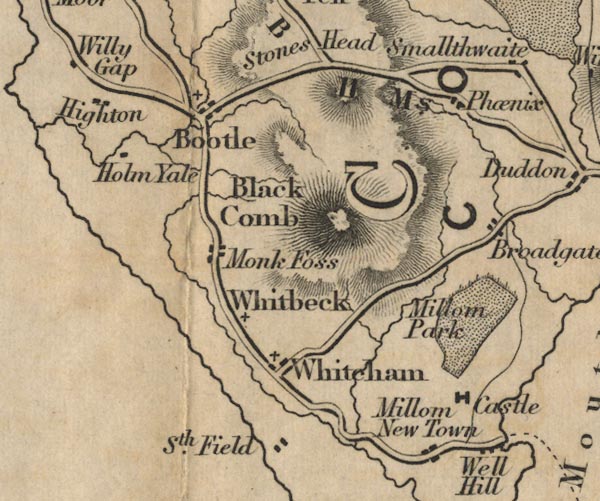 FD02SD18.jpg 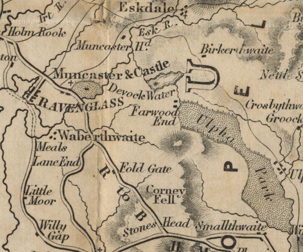 FD02SD19.jpg 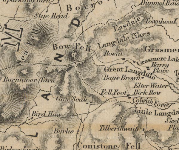 FD02NY20.jpg Area. item:- JandMN : 100.1 Image © see bottom of page |
|
|
|
||
Lakes Guides menu.