


 Derwent, River
BTO88.jpg (taken 22.9.2010)

BTO89.jpg Waterfall,
(taken 22.9.2010)
placename:- Comb Gill
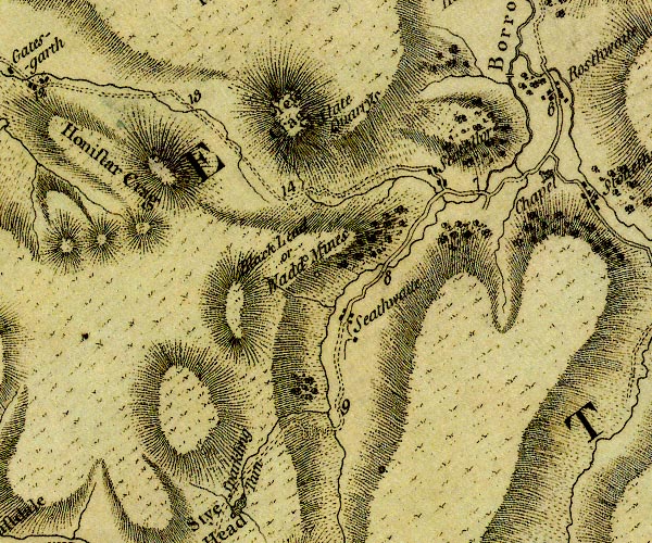
D4NY21SW.jpg
single or double wiggly line; a river
item:- Carlisle Library : Map 2
Image © Carlisle Library
placename:- Coom Gill
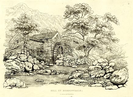
item:- water wheel
 click to enlarge
GN0370.jpg
Plate 70 in Seventy Eight Studies from Nature.
printed in introductory pages to set of prints:- "Number 70. Coom Gill, on which this building is situated, is engulphed in fantastic scenery; a water-spout in prodigious volume fell many years ago on the mountain above, tumbling about rocks and trees in the wildest confusion, as may be seen by those who wish to visit Coom Gill. There is an interesting water-fall about half a mile above the Mill, which is two miles from Rosthwaite, and eight from Keswick."
printed at bottom:- "MILL IN BORROWDALE. / Published Ambleside, Augst. 1st. 1809, by W. Green."
item:- Armitt Library : A6637.70
Image © see bottom of page
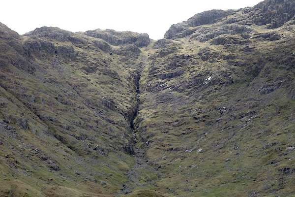
CDA87.jpg Ravine at the head of The Combe.
(taken 13.5.2015)

CDA97.jpg Ravine at the head of The Combe.
(taken 13.5.2015)

CDA88.jpg (taken 13.5.2015)
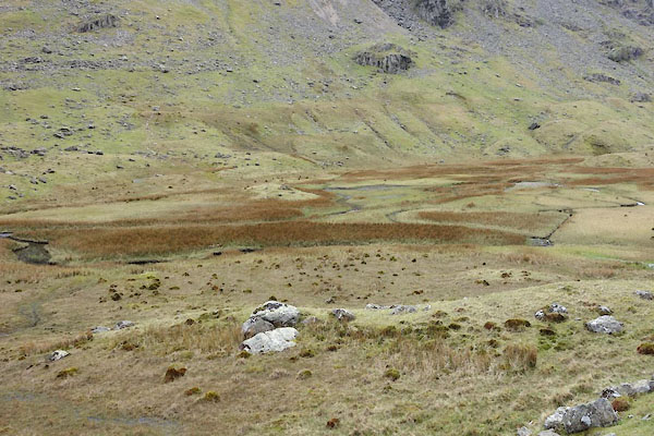
CDA86.jpg (taken 13.5.2015)

CDA80.jpg (taken 13.5.2015)
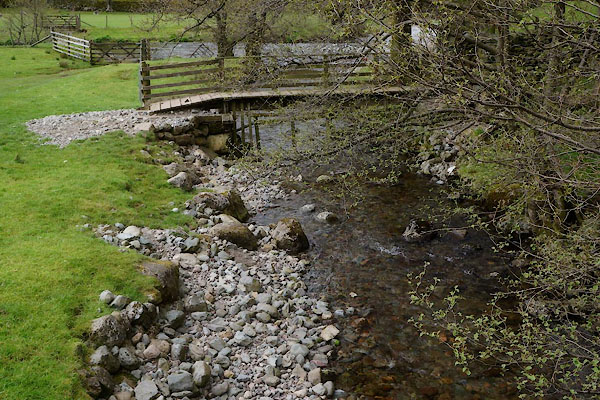
CCZ83.jpg At Burthwaite Bridge; the Derwent in the background.
(taken 13.5.2015)
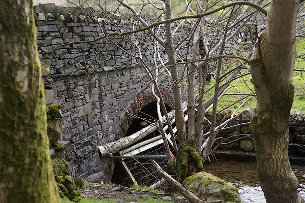 |
NY25451394 Burthwaite Bridge (Borrowdale) |
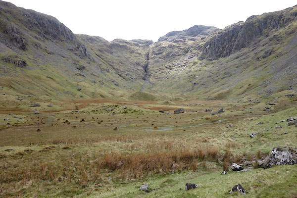 |
NY251124 Combe, The (Borrowdale) |
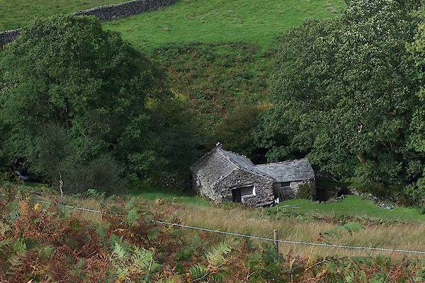 |
NY25331343 Old Mill Cottage (Borrowdale) |
