 |
 |
|
|
|
|
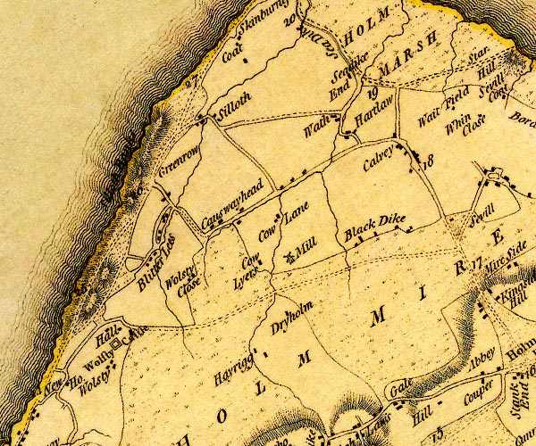
Causewayhead |
|
West Causewayhead |
|
|
|
East Causewayhead |
|
|
| civil parish:- |
Holme Low (formerly Cumberland) |
| county:- |
Cumbria |
| locality type:- |
locality |
| locality type:- |
buildings |
| coordinates:- |
NY11955253 (etc) |
| 1Km square:- |
NY1152 |
| 10Km square:- |
NY15 |
|
|
| evidence:- |
old map:- OS County Series (Cmd 20 12)
placename:- Causewayhead
|
| source data:- |
Maps, County Series maps of Great Britain, scales 6 and 25
inches to 1 mile, published by the Ordnance Survey, Southampton,
Hampshire, from about 1863 to 1948.
OS County Series (Cmd 20 16)
|
|
|
| evidence:- |
old map:- Donald 1774 (Cmd)
placename:- Causewayhead
|
| source data:- |
Map, hand coloured engraving, 3x2 sheets, The County of Cumberland, scale about 1
inch to 1 mile, by Thomas Donald, engraved and published by Joseph Hodskinson, 29
Arundel Street, Strand, London, 1774.
D4NY15SW.jpg
"Causewayhead"
block or blocks, labelled in lowercase; a hamlet or just a house
item:- Carlisle Library : Map 2
Image © Carlisle Library |
|
|
notes:-
|
There was an RAF training and maintenance centre here in World War II. Civilains needed
security passes to be in some areas.
|
|
|
| places:- |
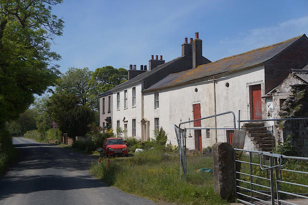 |
NY12095266 Causewayhead Farm (Holme Low) L |
|
|
 |
NY12625299 Forester's Arms (Holme Low) |
|
|
|
NY12445286 Causewayhead Crossing (Holme Low) gone |
|
|
|
NY13015326 Longcummercatiff Farm (Holme Low) |
|
|
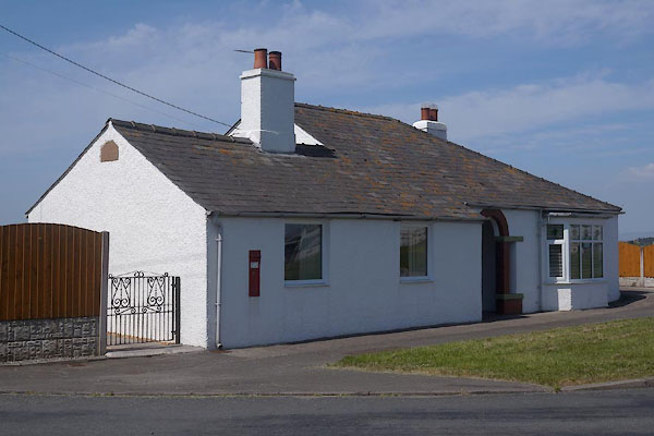 |
NY12595301 school, Causewayhead (Holme Low) |
|
|
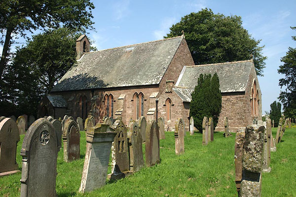 |
NY13105334 St Paul's Church (Holme Low) |
|
|
|
NY11965245 Stonyflat (Holme Low) |
|
|
|
NY12785306 Tanglewood (Holme Low) |
|
|
|
NY12755311 village hall, Causewayhead (Holme Low) |
|
|
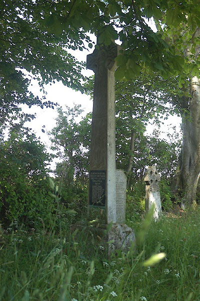 |
NY13095330 war memorial, Causewayhead (Holme Low) |
|
