 Old Cumbria Gazetteer
 |
 |
|
| Castle Nook, Above Derwent | ||
| Castle Nook | ||
| civil parish:- | Above Derwent (formerly Cumberland) | |
| county:- | Cumbria | |
| coordinates:- | NY230169 | |
| 1Km square:- | NY2316 | |
| 10Km square:- | NY21 | |
|
|
||
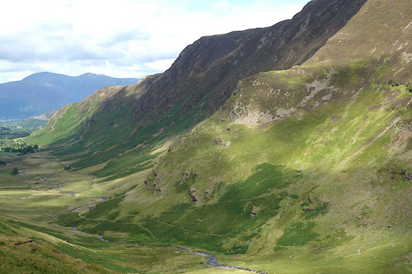 CBI67.jpg (taken 4.8.2014) 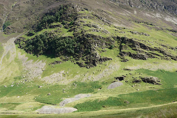 CBI69.jpg and Castlenook Mine. (taken 4.8.2014) |
||
|
|
||
| evidence:- | old map:- OS County Series (Cmd 70 5) placename:- Castle Nook |
|
| source data:- | Maps, County Series maps of Great Britain, scales 6 and 25
inches to 1 mile, published by the Ordnance Survey, Southampton,
Hampshire, from about 1863 to 1948. |
|
|
|
||
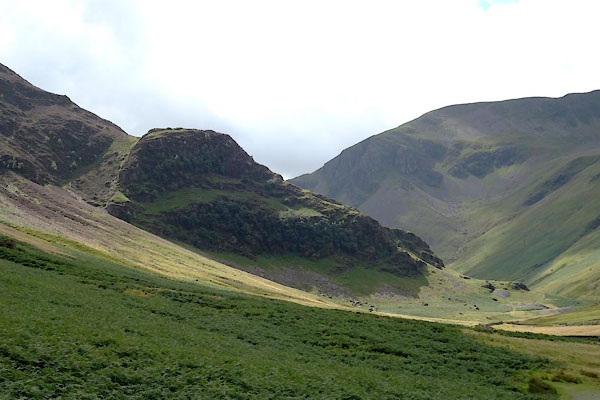 CBI68.jpg (taken 4.8.2014) |
||
|
|
||
 Lakes Guides menu.