 Old Cumbria Gazetteer
 |
 |
|
| Castle Knott, Barbon | ||
| Castle Knott | ||
| civil parish:- | Barbon (formerly Westmorland) | |
| civil parish:- | Middleton (formerly Westmorland) | |
| county:- | Cumbria | |
| locality type:- | hill | |
| locality type:- | boundary feature | |
| locality type:- | parish boundary feature | |
| coordinates:- | SD65668415 (etc) | |
| 1Km square:- | SD6584 | |
| 10Km square:- | SD68 | |
| altitude:- | 1759 feet | |
| altitude:- | 536m | |
| SummaryText:- | the boundary now appears slightly different from that on the OS County Series | |
|
|
||
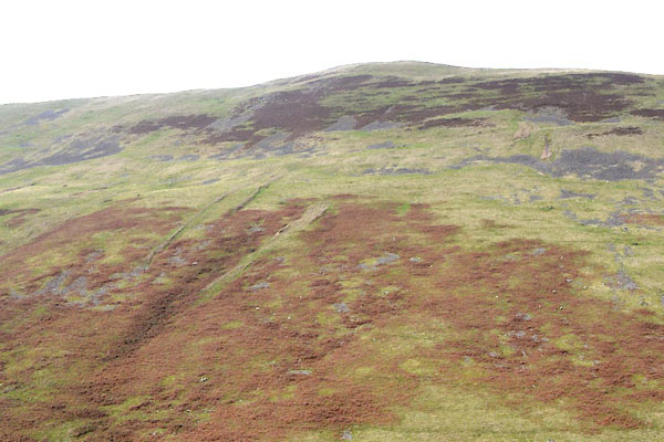 CGQ08.jpg (taken 29.9.2017) 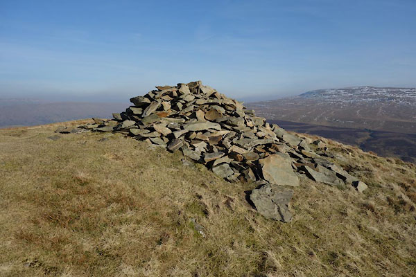 BXX53.jpg Cairn. (taken 18.2.2013) |
||
|
|
||
| evidence:- | old map:- OS County Series (Wmd 44 10) placename:- Castle Knott |
|
| source data:- | Maps, County Series maps of Great Britain, scales 6 and 25
inches to 1 mile, published by the Ordnance Survey, Southampton,
Hampshire, from about 1863 to 1948. |
|
|
|
||
| evidence:- | old map:- Balderston c1890 map placename:- Castle Knott |
|
| source data:- | Map, the hills in the Ingleton area, probably by Robert R
Balderston, engraved by Goodall and Suddick, Leeds, West
Yorkshire, about 1890.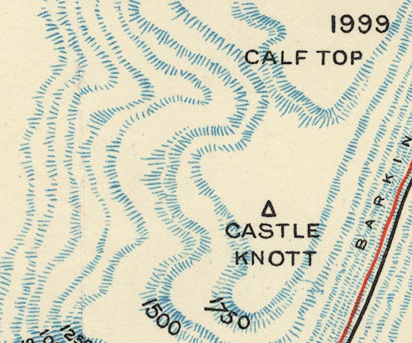 BS1SD68M.jpg "CASTLE KNOTT" item:- private collection : 27.1 Image © see bottom of page |
|
|
|
||
 Lakes Guides menu.