 |
 |
   |
|
|
|
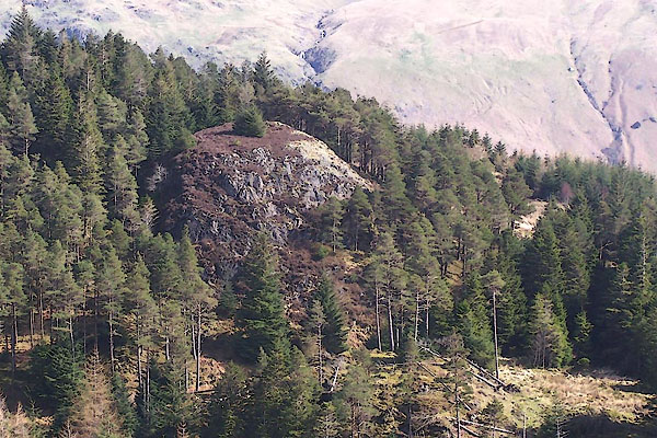
Castle Crag |
| locality:- |
Shoulthwaite |
| civil parish:- |
St John's Castlerigg and Wythburn (formerly Cumberland) |
| county:- |
Cumbria |
| locality type:- |
rocks |
| coordinates:- |
NY29971883 (about) |
| 1Km square:- |
NY2918 |
| 10Km square:- |
NY21 |
|
|
|

BUI65.jpg (taken 7.4.2011)
|
|
|
| evidence:- |
old map:- OS County Series (Cmd 64 15)
placename:- Castle Crag
|
| source data:- |
Maps, County Series maps of Great Britain, scales 6 and 25
inches to 1 mile, published by the Ordnance Survey, Southampton,
Hampshire, from about 1863 to 1948.
|
|
|
| evidence:- |
old photograph:- Bell 1880s-1940s
|
| source data:- |
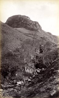
Photograph, sepia, Castle Crag, Shoulthwaite, St John's Castlerigg and Wythburn, Cumberland,
by Herbert Bell, photographer, Ambleside, Westmorland, 1890s.
 click to enlarge click to enlarge
HB0742.jpg
internegative at lower right:- "H. Bell"
item:- Armitt Library : ALPS405
Image © see bottom of page
|
|
|
| evidence:- |
old photograph:- Bell 1880s-1940s
|
| source data:- |
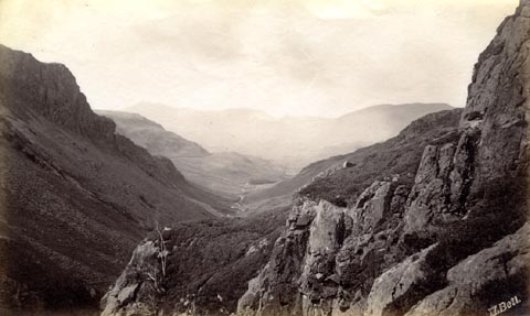
Photograph, sepia, view from Castle Crag, down Shoulthwaite Gill, St John's Castlerigg
and Wythburn, Cumberland, by Herbert Bell, photographer, Ambleside, Westmorland, 1890s.
 click to enlarge click to enlarge
HB0743.jpg
internegative at lower right:- "H. Bell"
item:- Armitt Library : ALPS406
Image © see bottom of page
|
|
|


 click to enlarge
 click to enlarge
 Lakes Guides menu.