button to main menu  Old Cumbria Gazetteer
Cardewlees, Dalston
Cardewlees
civil parish:-   Dalston (formerly Cumberland)
county:-   Cumbria
locality type:-   locality
locality type:-   buildings
coordinates:-   NY34925127 (etc) 
1Km square:-   NY3451
10Km square:-   NY35

evidence:-   old map:- OS County Series (Cmd 23 13) 
placename:-  Cardewlees
source data:-   Maps, County Series maps of Great Britain, scales 6 and 25 inches to 1 mile, published by the Ordnance Survey, Southampton, Hampshire, from about 1863 to 1948.

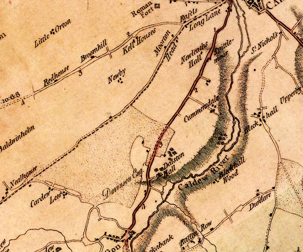
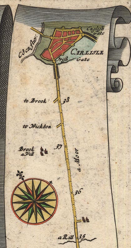
evidence:-   old map:- Ogilby 1675 (plate 96) 
source data:-   Road strip map, hand coloured engraving, the Road from Kendal to Cockermouth, and the Road from Egremond to Carlisle, scale about 1 inch to 1 mile, by John Ogilby, London, 1675.
image
OG96Bm35.jpg
In mile 35, Cumberland. 
Houses down a turning right of the road. 
item:-  JandMN : 22
Image © see bottom of page

evidence:-   old map:- Donald 1774 (Cmd) 
placename:-  Cardew Lees
source data:-   Map, hand coloured engraving, 3x2 sheets, The County of Cumberland, scale about 1 inch to 1 mile, by Thomas Donald, engraved and published by Joseph Hodskinson, 29 Arundel Street, Strand, London, 1774.
image
D4NY35SE.jpg
"Cardew / Lees"
block or blocks, labelled in lowercase; a hamlet or just a house 
item:-  Carlisle Library : Map 2
Image © Carlisle Library

places:-  
NY35055119 Beech Holme (Dalston)
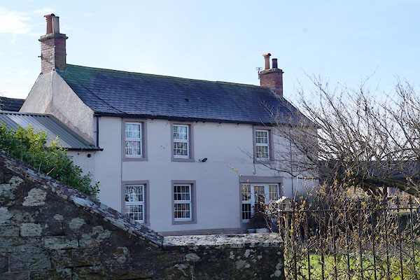
NY34585120 Cardewlees Farm (Dalston)
NY35375107 Cardewlees Farm (Dalston)
NY34575143 Cardewlees Inn (Dalston)
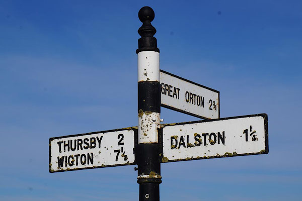
NY35405119 fingerpost, Dalston (12) (Dalston)
NY35435114 Hillcrest (Dalston)
NY353518 pillbox, Cardewlees (Dalston)
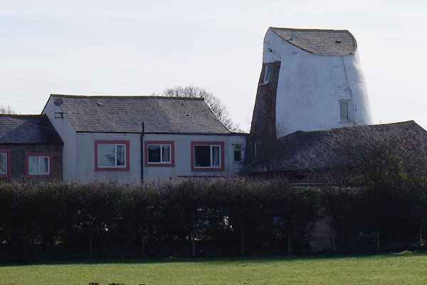
NY34755114 windmill, Cardewlees (Dalston)
button to lakes menu  Lakes Guides menu.