


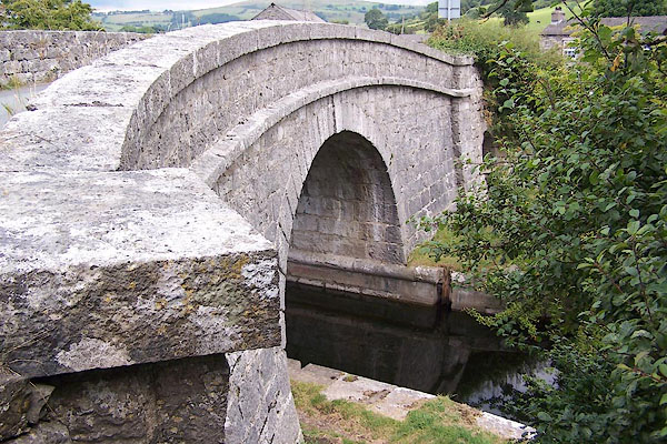
BJS25.jpg (taken 12.8.2005)
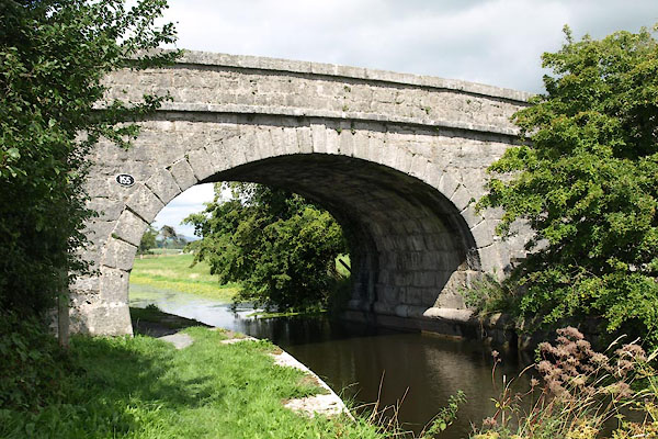
BZB67.jpg (taken 16.8.2013)
placename:- Duke's Bridge
courtesy of English Heritage
"DUKE'S BRIDGE OVER KENDAL/LANCASTER CANAL 170 METRES EAST NORTH EAST OF TOWNEND FARM / / A6070 / BEETHAM / SOUTH LAKELAND / CUMBRIA / II / 76563 / SD5323480772"
courtesy of English Heritage
"Canal bridge c.1816. Probably by John Fletcher, engineer, from the original designs of John Rennie whose route for the canal was authorised in 1792. Squared, coursed limestone with limestone string and copings and rounded fender course. Elliptical arch, with rusticated voussoirs and keystone, over canal and towpath; smaller arch with similar details over cattle creep to East. Shallow-arched parapets, curved in plan, continuing into retaining walls terminated by pilasters. Steps up to roadway at South-west corner. Approx. 6m wide between parapets. The bridge is a particularly fine example on this stretch of the canal and takes its name from the Duke of Cumberland Public House which formerly stood at the crossroads to the East of it."
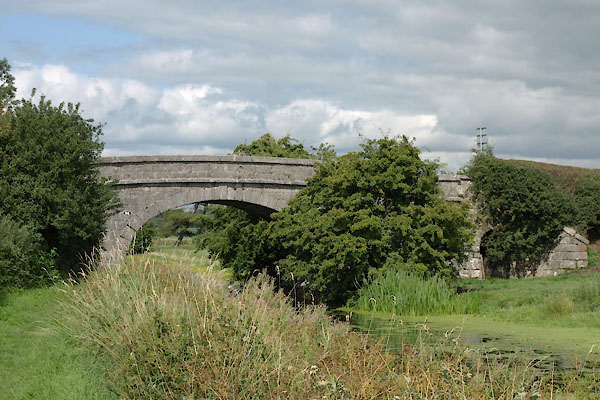
BZB65.jpg (taken 16.8.2013)
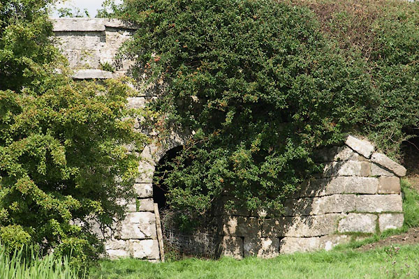
BZB66.jpg The cattle way through the east side.
(taken 16.8.2013)
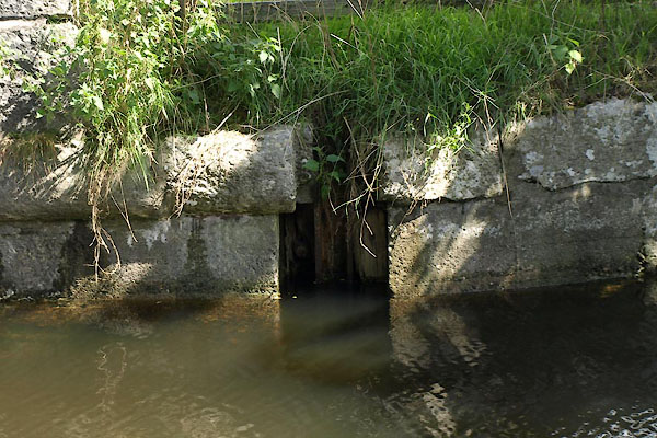
BZB68.jpg Stank slot .
(taken 16.8.2013)
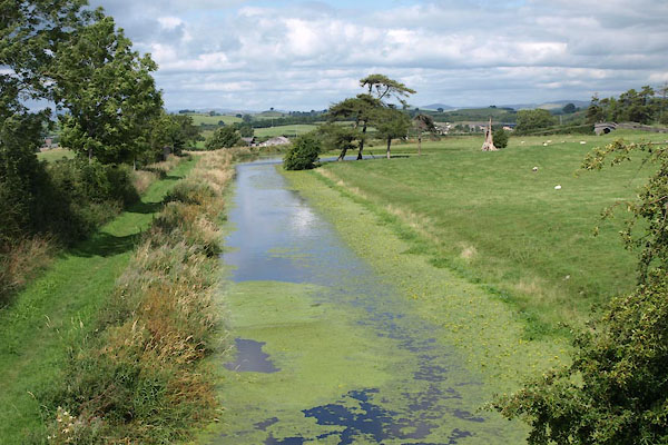
BZB69.jpg View N.
(taken 16.8.2013)
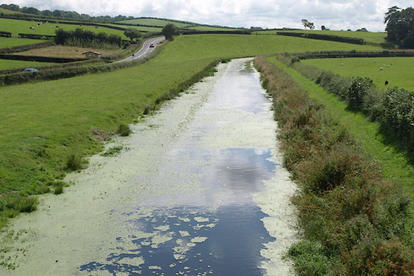
BZB70.jpg View S.
(taken 16.8.2013)

 Lakes Guides menu.