 Old Cumbria Gazetteer
 |
 |
|
||
| Burrow Beck | ||||
| civil parish:- | Cartmel Fell (formerly Lancashire) | |||
| county:- | Cumbria | |||
| locality type:- | river | |||
| coordinates:- | SD38389098 | |||
| 1Km square:- | SD3890 | |||
| 10Km square:- | SD39 | |||
|
|
||||
| evidence:- | descriptive text:- Simpson 1746 placename:- Burrow, River |
|||
| source data:- | Atlas, three volumes of maps and descriptive text published as
'The Agreeable Historian, or the Compleat English Traveller
...', by Samuel Simpson, 1746. goto source goto sourcePage 1020:- "..." "... the Lone or Lune, ... After receiving some Rivulets, and the two Rivers Birkbeck and Burrow, near Orton. it grows a large Stream, ..." |
|||
|
|
||||
| evidence:- | old map:- Clarke 1787 map (Windermere S) |
|||
| source data:- | Map, A Map of the Southern Part of the Lake Winandermere and its
Environs, scale about 6.5 ins to 1 mile, by James Clarke,
engraved by Samuel John Neele, 352 Strand, published by James
Clarke, Penrith, Cumberland and in London etc, 1787.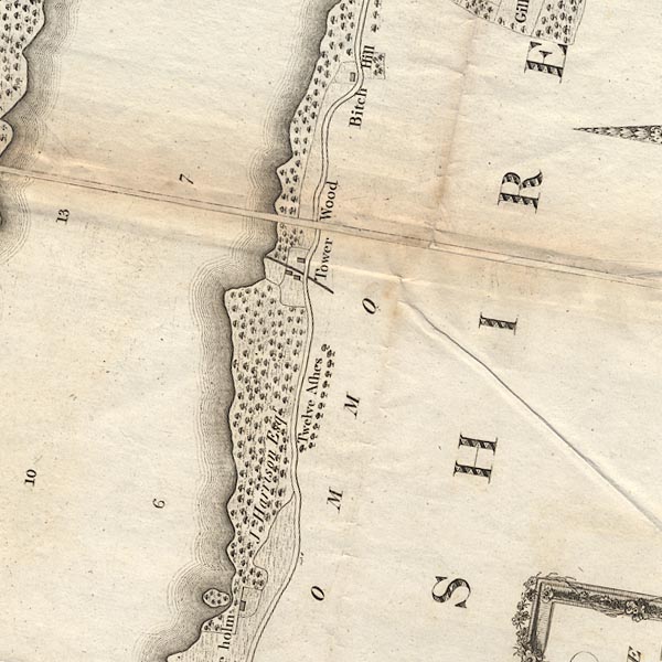 CLBSD39V.jpg item:- private collection : 10.11 Image © see bottom of page |
|||
|
|
||||
| places:- |
|
|||
Lakes Guides menu.