 Old Cumbria Gazetteer
 |
 |
|
| Burnmoor stone circles, Eskdale | ||
| Low Longrigg SW Stone Circle | ||
| Low Longrigg NE Stone Circle | ||
| White Moss SW Stone Circle | ||
| White Moss NE Stone Circle | ||
| Brat's Hill Stone Circle | ||
| locality:- | Low Longrigg | |
| locality:- | White Moss | |
| locality:- | Burnmoor | |
| locality:- | Eskdale Moor | |
| civil parish:- | Eskdale (formerly Cumberland) | |
| county:- | Cumbria | |
| locality type:- | stone circle | |
| coordinates:- | NY17230257 (average) | |
| 1Km square:- | NY1702 | |
| 1Km square:- | NY1724 | |
| 10Km square:- | NY10 | |
|
|
||
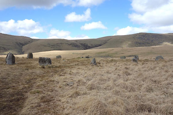
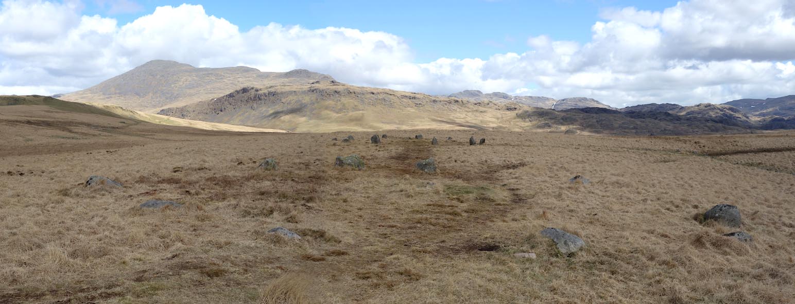 Click to enlarge BYG32.jpg Two of the circles. (taken 27.4.2013) |
||
|
|
||
| evidence:- | old map:- OS County Series (Cmd 79 10) placename:- Druidical Temples |
|
| source data:- | Maps, County Series maps of Great Britain, scales 6 and 25
inches to 1 mile, published by the Ordnance Survey, Southampton,
Hampshire, from about 1863 to 1948. |
|
|
|
||
| evidence:- | old map:- Garnett 1850s-60s H placename:- Druid Stones |
|
| source data:- | Map of the English Lakes, in Cumberland, Westmorland and
Lancashire, scale about 3.5 miles to 1 inch, published by John
Garnett, Windermere, Westmorland, 1850s-60s.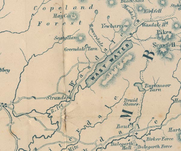 GAR2NY10.jpg "Druid Stones" no symbol item:- JandMN : 82.1 Image © see bottom of page |
|
|
|
||
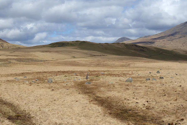 BYG27.jpg (taken 27.4.2013) 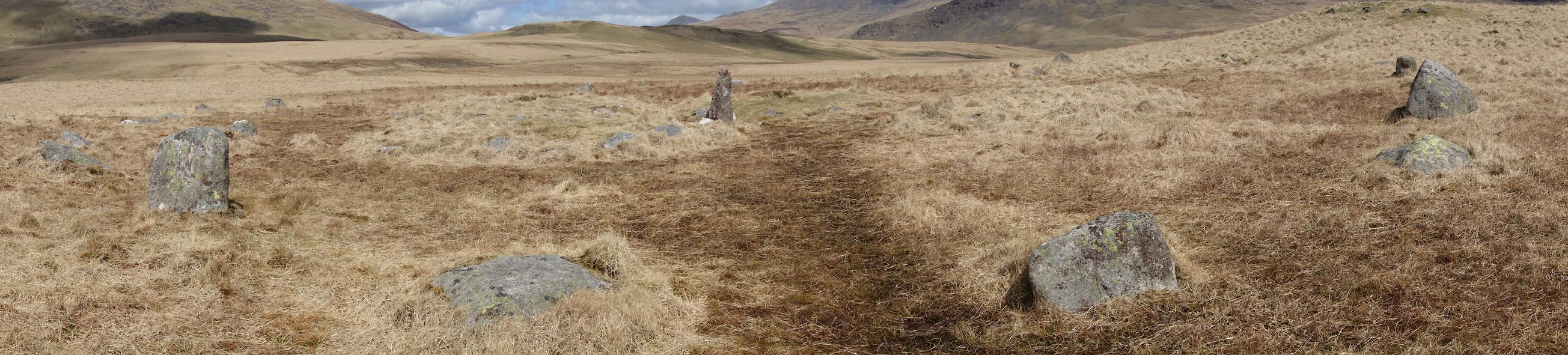 Click to enlarge BYG28.jpg (taken 27.4.2013) |
||
| circle E |
||
|
|
||
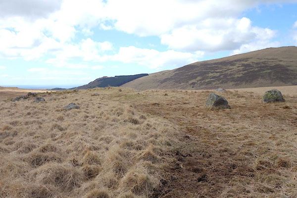
 BYG29.jpg (taken 27.4.2013) 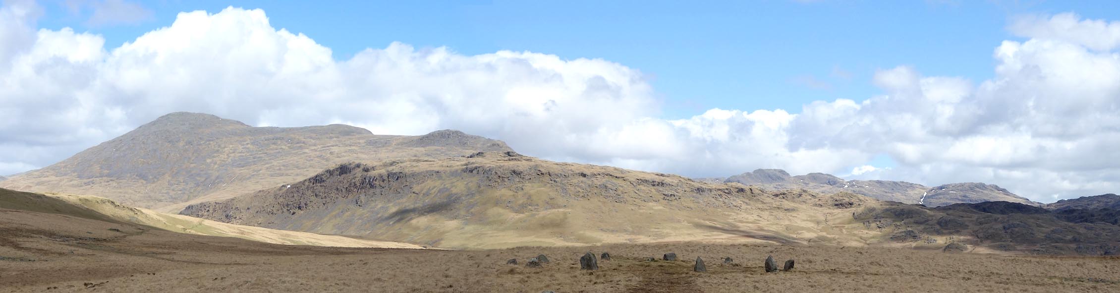 Click to enlarge BYG30.jpg (taken 27.4.2013) |
||
| circle D ? |
||
|
|
||
 BYG31.jpg (taken 27.4.2013) Click to enlarge BYG32.jpg (taken 27.4.2013) |
||
| circle C ? |
||
|
|
||
| hearsay:- |
Burnmoor A - ruinous ring of perhaps 15 stones, once, 21.7x20.4m; about NY17110273. |
|
| Burnmoor B - 9 stones, circle 15.2m diameter; about NY17140276. |
||
| Burnmoor C - 14 stones left, many fallen, circle about 16.6m diameter; about NY17260239. |
||
| Burnmoor D - 11 stones in a circle about 16.2m diameter; about NY17300241. |
||
| Burnmoor E - 40+ stones in circle about 30.4m diameter. Local Eskdale granite. Thom
type A flattened circle; about NY17360233. |
||
| Matching the five circles on the OS map to the five descriptions, A..E, is not helped
by published sources using inadequate 6 figure grid references. |
||
| Waterhouse, John: 1985: Stone Circles of Cumbria: Phillimore and Co (Chichester, Sussex)::
ISBN 0 85033 566 3 Thom, A: 1967: Megalithic Sites in Britain: Oxford University Press (Oxford, Oxfordshire) Burl, H A W: 1976: Stone Circles of the British Isles: Yale University Press (United States) |
||
|
|
||
 Lakes Guides menu.