 Old Cumbria Gazetteer
 |
 |
|
| Burneside Station, Burneside | ||
| Burneside Station | ||
| site name:- | Kendal and Windermere Railway | |
| locality:- | Burneside | |
| civil parish:- | Strickland Ketel (formerly Westmorland) | |
| county:- | Cumbria | |
| locality type:- | railway station | |
| coordinates:- | SD50259580 | |
| 1Km square:- | SD5095 | |
| 10Km square:- | SD59 | |
| SummaryText:- | Opened with the railway 1847. | |
|
|
||
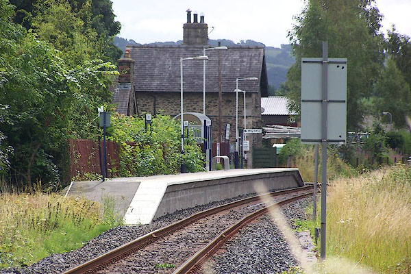 BJR10.jpg (taken 3.8.2005) 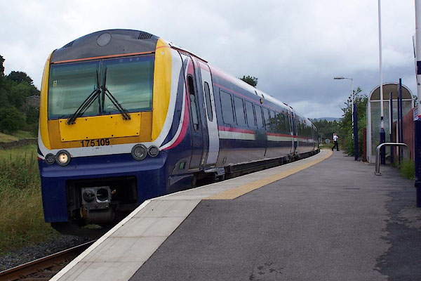 BJR11.jpg (taken 3.8.2005) |
||
|
|
||
| evidence:- | old map:- OS County Series (Wmd 33 15) placename:- Burneside Station item:- railway signal; railway milepost |
|
| source data:- | Maps, County Series maps of Great Britain, scales 6 and 25
inches to 1 mile, published by the Ordnance Survey, Southampton,
Hampshire, from about 1863 to 1948.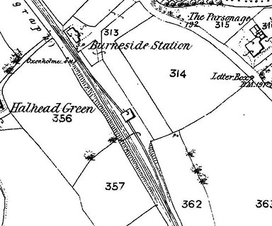 click to enlarge click to enlargeCSRY0172.jpg "Burneside Station / S.P. / Oxenholme 4 M.P." |
|
|
|
||
| evidence:- | old map:- Garnett 1850s-60s H |
|
| source data:- | Map of the English Lakes, in Cumberland, Westmorland and
Lancashire, scale about 3.5 miles to 1 inch, published by John
Garnett, Windermere, Westmorland, 1850s-60s.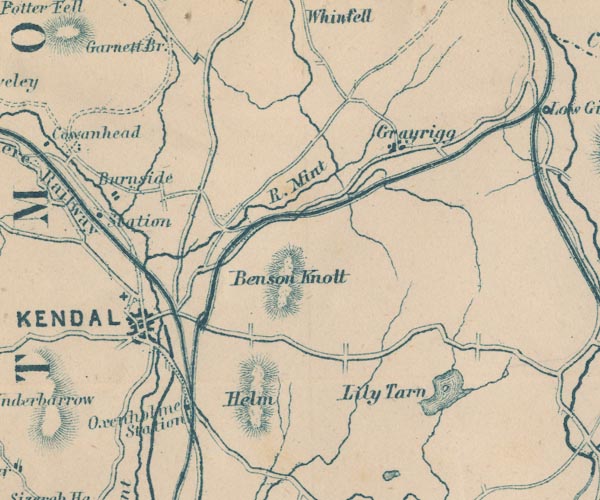 GAR2SD59.jpg "Station" dot by railway item:- JandMN : 82.1 Image © see bottom of page |
|
|
|
||
| evidence:- | probably old map:- Postlethwaite 1877 (3rd edn 1913) |
|
| source data:- | Map, uncoloured engraving, Map of the Lake District Mining Field, Westmorland, Cumberland,
Lancashire, scale about 5 miles to 1 inch, by John Postlethwaite, published by W H
Moss and Sons, 13 Lowther Street, Whitehaven, Cumberland, 1877 edn 1913.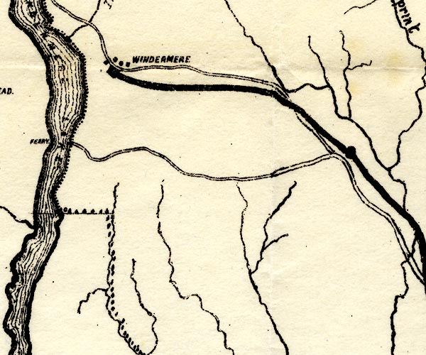 PST2SD49.jpg station on railway item:- JandMN : 162.2 Image © see bottom of page |
|
|
|
||
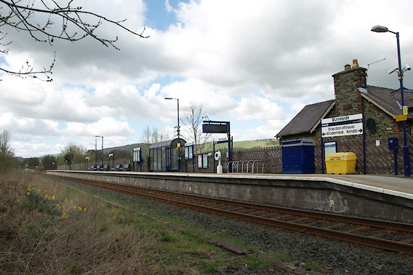 BWE72.jpg (taken 5.4.2012) 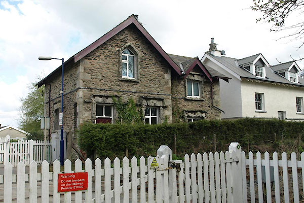 BWE73.jpg (taken 5.4.2012) 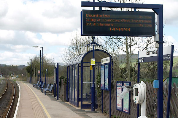 BWE74.jpg (taken 5.4.2012) 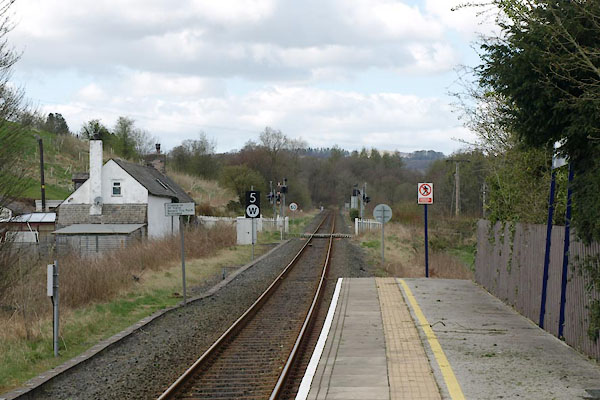 BWE75.jpg View W. (taken 5.4.2012) 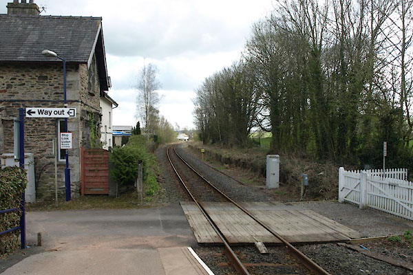 BWE76.jpg View E. (taken 5.4.2012) |
||
|
|
||
 Lakes Guides menu.