 |
 |
|
|
|
|
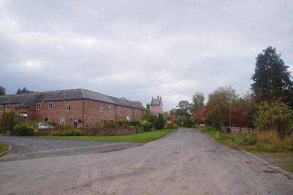
Brunstock |
| civil parish:- |
Stanwix Rural (formerly Cumberland) |
| county:- |
Cumbria |
| locality type:- |
locality |
| locality type:- |
buildings |
| coordinates:- |
NY41775956 (etc) |
| 1Km square:- |
NY4159 |
| 10Km square:- |
NY45 |
|
|
|
CEC81.jpg (taken 23.10.2015)
|
|
|
| evidence:- |
old map:- OS County Series (Cmd 16 12)
placename:- Brunstock
|
| source data:- |
Maps, County Series maps of Great Britain, scales 6 and 25
inches to 1 mile, published by the Ordnance Survey, Southampton,
Hampshire, from about 1863 to 1948.
|
|
|
| evidence:- |
old map:- Donald 1774 (Cmd)
placename:- Brunstock
|
| source data:- |
Map, hand coloured engraving, 3x2 sheets, The County of Cumberland, scale about 1
inch to 1 mile, by Thomas Donald, engraved and published by Joseph Hodskinson, 29
Arundel Street, Strand, London, 1774.

D4NY45NW.jpg
"Brunstock"
block or blocks, labelled in lowercase; a hamlet or just a house
item:- Carlisle Library : Map 2
Image © Carlisle Library |
|
|
| places:- |
 |
NY41505986 bridge, Brunstock (Stanwix Rural) |
|
|
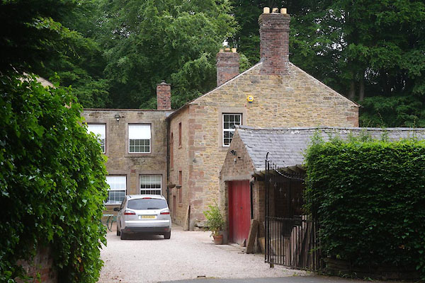 |
NY41805935 Brunstock Cottage (Stanwix Rural) L |
|
|
 |
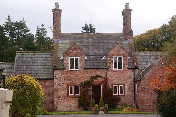
NY41705948 Brunstock Farm (Stanwix Rural) L |
|
|
 |
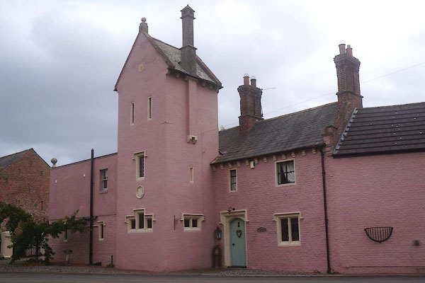
NY41875942 Brunstock House (Stanwix Rural) L |
|
|
|
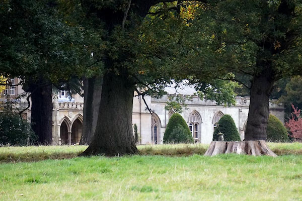
NY42265920 Brunstock Park (Stanwix Rural) |
|
|
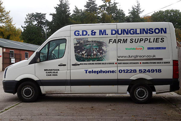 |
NY41795951 Dunlingson agricultural merchant (Stanwix Rural) |
|
|
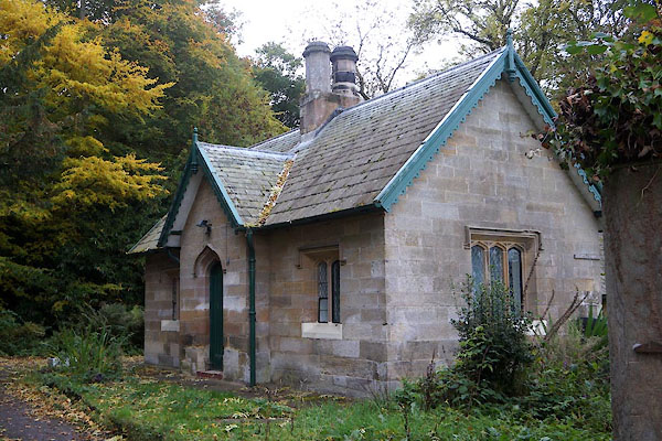 |
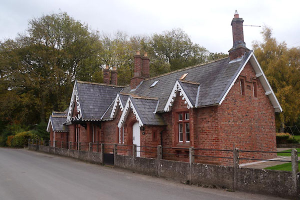
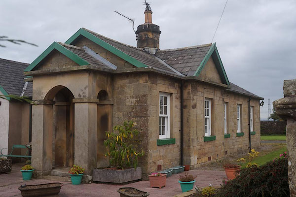
NY41905954 East Lodge (Stanwix Rural) L |
|
|
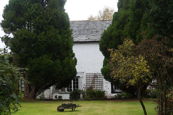 |
NY41715958 Grange, The (Stanwix Rural) L |
|
|
 |
NY41835955 Latchend (Stanwix Rural) L |
|
|
 |
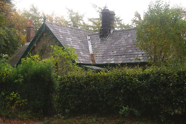
NY41825963 Lodge, The (Stanwix Rural) |
|
|
 |
NY42275888 Millbrook Lodge (Stanwix Rural) L |
|
|
 |
NY41745949 Rozelle (Stanwix Rural) L |
|
|
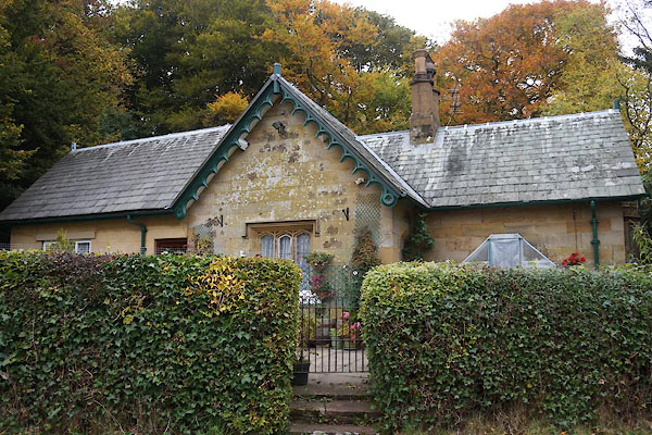 |
NY41885927 West Lodge (Stanwix Rural) L |
|
