 Old Cumbria Gazetteer
 |
 |
|
| Low Brundrigg, Strickland Ketel | ||
| Low Brundrigg | ||
| Street:- | Crook Road | |
| civil parish:- | Strickland Ketel (formerly Westmorland) | |
| county:- | Cumbria | |
| locality type:- | buildings | |
| coordinates:- | SD48379498 | |
| 1Km square:- | SD4894 | |
| 10Km square:- | SD49 | |
|
|
||
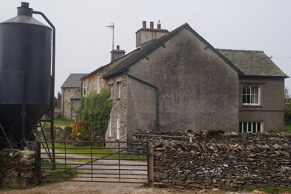 CBQ28.jpg (taken 12.9.2014) 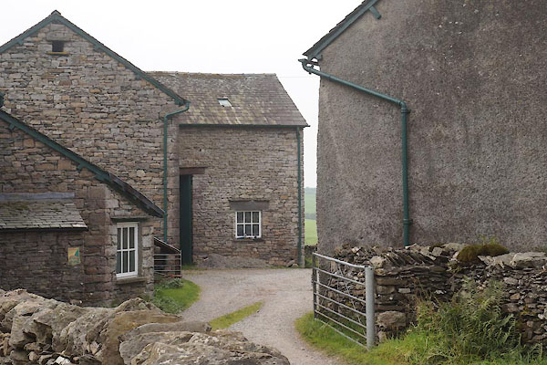 CBQ29.jpg (taken 12.9.2014) |
||
|
|
||
| evidence:- | old map:- OS County Series (Wmd 33 15) placename:- Low Brundrigg placename:- Brundrigg, Low |
|
| source data:- | Maps, County Series maps of Great Britain, scales 6 and 25
inches to 1 mile, published by the Ordnance Survey, Southampton,
Hampshire, from about 1863 to 1948. |
|
|
|
||
| evidence:- | old map:- Jefferys 1770 (Wmd) placename:- Brundrigg |
|
| source data:- | Map, 4 sheets, The County of Westmoreland, scale 1 inch to 1
mile, surveyed 1768, and engraved and published by Thomas
Jefferys, London, 1770.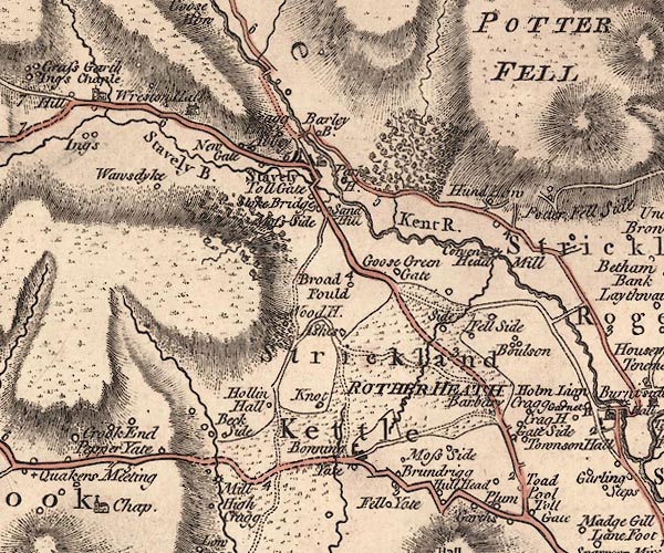 J5SD49NE.jpg "Brundrigg" circle, labelled in italic lowercase text; settlement, farm, house, or hamlet? item:- National Library of Scotland : EME.s.47 Image © National Library of Scotland |
|
|
|
||
| evidence:- | database:- Listed Buildings 2010 placename:- Low Brundrigg Farm |
|
| source data:- | courtesy of English Heritage "LOW BRUNDRIGG FARMHOUSE / / / STRICKLAND KETEL / SOUTH LAKELAND / CUMBRIA / II / 76414 / SD4837694986" |
|
|
|
||
| evidence:- | database:- Listed Buildings 2010 |
|
| source data:- | courtesy of English Heritage "BARN GROUP TO SOUTH EAST OF LOW BRUNDRIGG FARMHOUSE / / / STRICKLAND KETEL / SOUTH LAKELAND / CUMBRIA / II / 76415 / SD4839694975" |
|
|
|
||
 Lakes Guides menu.