 Old Cumbria Gazetteer
 |
 |
|
| Brownhowe Bottom, Longsleddale | ||
| Brownhowe Bottom | ||
| civil parish:- | Longsleddale (formerly Westmorland) | |
| county:- | Cumbria | |
| locality type:- | valley (sort of) | |
| coordinates:- | NY480088 | |
| 1Km square:- | NY4808 | |
| 10Km square:- | NY40 | |
|
|
||
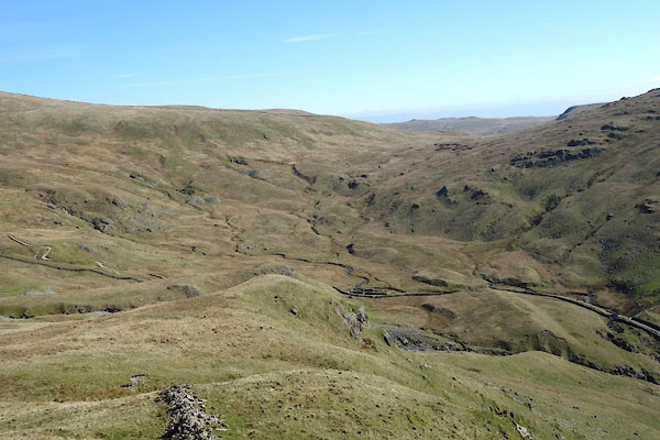 CAK30.jpg (taken 19.4.2014) 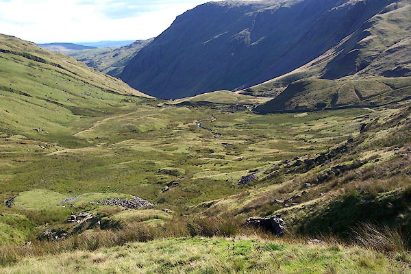 BJT41.jpg From Selside Brow. (taken 20.8.2005) |
||
|
|
||
| evidence:- | map:- OS Six Inch (1956) placename:- Brownhowe Bottom |
|
| source data:- | Map series, various editions with the national grid, scale about
6 inches to 1 mile, published by the Ordnance Survey,
Southampton, Hampshire, scale 1 to 10560 from 1950s to 1960s,
then 1 to 10000 from 1960s to 2000s, superseded by print on
demand from digital data.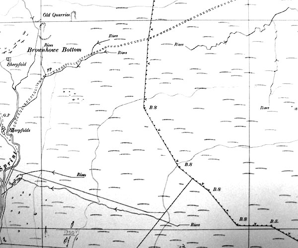 SINY4808.jpg "Brownhowe Bottom" |
|
|
|
||
 BJN04.jpg (taken 13.5.2005) 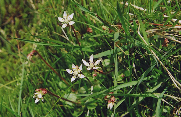 BJN24.jpg Flower. (taken 13.5.2005) |
||
|
|
||
 Lakes Guides menu.