 Old Cumbria Gazetteer
 |
 |
|
| High Brow, Barton | ||
| High Brow | ||
| locality:- | Celleron | |
| civil parish:- | Barton (formerly Westmorland) | |
| county:- | Cumbria | |
| locality type:- | buildings | |
| coordinates:- | NY49002542 | |
| 1Km square:- | NY4925 | |
| 10Km square:- | NY42 | |
|
|
||
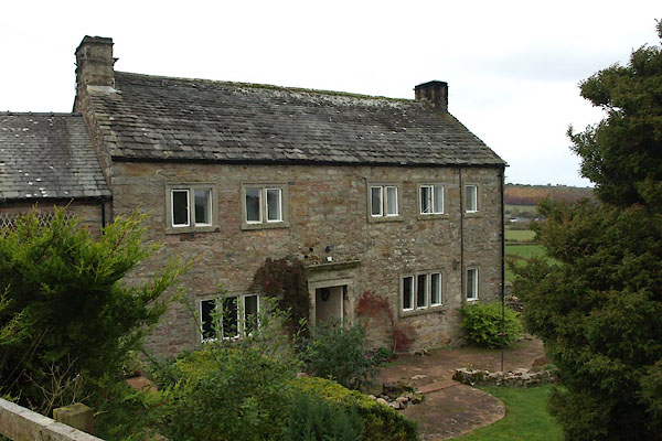 BXO55.jpg (taken 26.10.2012) |
||
|
|
||
| evidence:- | old map:- OS County Series (Wmd 7 3) placename:- High Brow placename:- Brow, High |
|
| source data:- | Maps, County Series maps of Great Britain, scales 6 and 25
inches to 1 mile, published by the Ordnance Survey, Southampton,
Hampshire, from about 1863 to 1948. |
|
|
|
||
| evidence:- | old map:- Jefferys 1770 (Wmd) placename:- Brow |
|
| source data:- | Map, 4 sheets, The County of Westmoreland, scale 1 inch to 1
mile, surveyed 1768, and engraved and published by Thomas
Jefferys, London, 1770.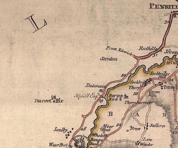 J5NY42NE.jpg "Brow" circle, labelled in italic lowercase text; settlement, farm, house, or hamlet? item:- National Library of Scotland : EME.s.47 Image © National Library of Scotland |
|
|
|
||
| evidence:- | probably old map:- Ford 1839 map placename:- Brow |
|
| source data:- | Map, uncoloured engraving, Map of the Lake District of
Cumberland, Westmoreland and Lancashire, scale about 3.5 miles
to 1 inch, published by Charles Thurnam, Carlisle, and by R
Groombridge, 5 Paternoster Row, London, 3rd edn 1843.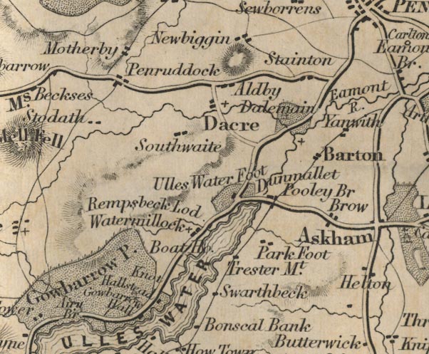 FD02NY42.jpg "Brow" item:- JandMN : 100.1 Image © see bottom of page |
|
|
|
||
| evidence:- | database:- Listed Buildings 2010 placename:- High Brow |
|
| source data:- | courtesy of English Heritage "HIGH BROW / / / BARTON / EDEN / CUMBRIA / II / 74526 / NY4900025411" |
|
|
|
||
 Lakes Guides menu.