 Old Cumbria Gazetteer
 |
 |
|
| Brotto, Fisher Place | ||
| Brotto | ||
| locality:- | Fisher Place | |
| civil parish:- | St John's Castlerigg and Wythburn (formerly Cumberland) | |
| county:- | Cumbria | |
| locality type:- | buildings | |
| coordinates:- | NY31851845 | |
| 1Km square:- | NY3118 | |
| 10Km square:- | NY31 | |
|
|
||
| evidence:- | old map:- OS County Series (Cmd 70 4) placename:- Brotto |
|
| source data:- | Maps, County Series maps of Great Britain, scales 6 and 25
inches to 1 mile, published by the Ordnance Survey, Southampton,
Hampshire, from about 1863 to 1948. |
|
|
|
||
| evidence:- | old map:- Donald 1774 (Cmd) placename:- Brattah |
|
| source data:- | Map, hand coloured engraving, 3x2 sheets, The County of Cumberland, scale about 1
inch to 1 mile, by Thomas Donald, engraved and published by Joseph Hodskinson, 29
Arundel Street, Strand, London, 1774.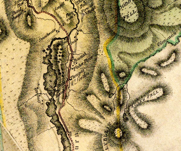 D4NY31NW.jpg "Brattah" block or blocks, labelled in lowercase; a hamlet or just a house item:- Carlisle Library : Map 2 Image © Carlisle Library |
|
|
|
||
| evidence:- | old map:- Clarke 1787 map (Ambleside to Keswick) placename:- Brotto |
|
| source data:- | Map, A Map of the Roads Lakes etc between Keswick and Ambleside,
scale about 2.5 ins to 1 mile, by James Clarke, engraved by S J
Neele, 352 Strand, published by James Clarke, Penrith,
Cumberland and in London etc, 1787.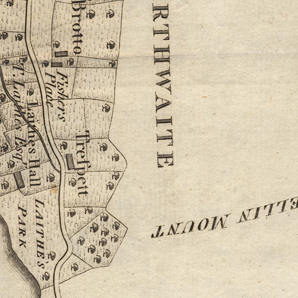 CL9NY31I.jpg "Brotto" item:- private collection : 10.9 Image © see bottom of page |
|
|
|
||
| evidence:- | database:- Listed Buildings 2010 placename:- Brotto Cottages |
|
| source data:- | courtesy of English Heritage "BROTTO COTTAGES / 5 / / ST JOHNS CASTLERIGG AND WYTHBURN / ALLERDALE / CUMBRIA / II / 72187 / NY3184118466" |
|
|
|
||
 Lakes Guides menu.