 Old Cumbria Gazetteer
 |
 |
|
| Broom Fell, Lorton | ||
| Broom Fell | ||
| civil parish:- | Lorton (formerly Cumberland) | |
| civil parish:- | Wythop (formerly Cumberland) | |
| county:- | Cumbria | |
| locality type:- | hill | |
| locality type:- | fell | |
| coordinates:- | NY19542704 | |
| 1Km square:- | NY1927 | |
| 10Km square:- | NY12 | |
| altitude:- | 1677 feet | |
| altitude:- | 511m | |
| altitude:- | 1670 feet | |
| altitude:- | 509m | |
|
|
||
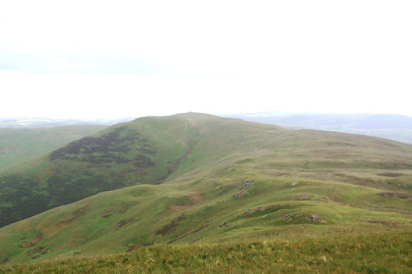 BWT35.jpg (taken 13.6.2012) |
||
|
|
||
| evidence:- | old map:- OS County Series (Cmd 55 11) placename:- Broom Fell |
|
| source data:- | Maps, County Series maps of Great Britain, scales 6 and 25
inches to 1 mile, published by the Ordnance Survey, Southampton,
Hampshire, from about 1863 to 1948. |
|
|
|
||
 Lakes Guides menu.