 Old Cumbria Gazetteer
 |
 |
|
| bridge, Little Salkeld | ||
| site name:- | Robberby Water | |
| locality:- | Little Salkeld | |
| civil parish:- | Hunsonby (formerly Cumberland) | |
| county:- | Cumbria | |
| locality type:- | bridge | |
| coordinates:- | NY56633593 | |
| 1Km square:- | NY5635 | |
| 10Km square:- | NY53 | |
|
|
||
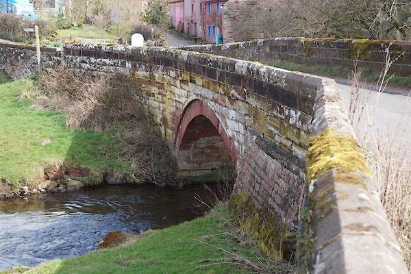 CCQ34.jpg (taken 20.3.2015) 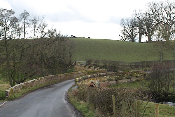 BXZ90.jpg (taken 15.3.2013) |
||
|
|
||
| evidence:- | old map:- Bell 1892 placename:- Little Salkeld Bridge |
|
| source data:- | Map, colour lithograph, Road Map of Cumberland, by George Joseph
Bell, scale about 2.5 miles to 1 inch, printed by Charles
Thurnam and Sons, Carlisle, Cumberland, 1892.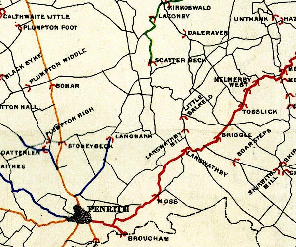 BEL9NY53.jpg "LITTLE SALKELD" bridge symbol Road map of Cumberland showing County Bridges item:- Carlisle Library : Map 38 Image © Carlisle Library |
|
|
|
||
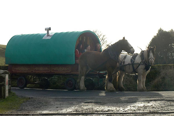 BXZ91.jpg gypsy caravan & caravan, gypsy & travelling van &horse (taken 15.3.2013) |
||
|
|
||
 Lakes Guides menu.