 |
 |
   |
|
|
|
Bowderdale |
| locality:- |
Bowderdale valley |
| civil parish:- |
Ravenstonedale (formerly Westmorland) |
| county:- |
Cumbria |
| locality type:- |
locality |
| locality type:- |
buildings |
| coordinates:- |
NY67820463 (etc) |
| 1Km square:- |
NY6704 |
| 10Km square:- |
NY60 |
|
|
| evidence:- |
old map:- OS County Series (Wmd 29 7)
placename:- Bowderdale
|
| source data:- |
Maps, County Series maps of Great Britain, scales 6 and 25
inches to 1 mile, published by the Ordnance Survey, Southampton,
Hampshire, from about 1863 to 1948.
|
|
|
| evidence:- |
hearth tax returns:- Hearth Tax 1675
placename:- Bowtherdale
|
| source data:- |
Records, hearth tax survey returns, Westmorland, 1674/75.
"Bowtherdale"
in "Ravenstonedale"
|
|
|
| evidence:- |
hearth tax returns:- Hearth Tax 1670
placename:- Botherdaill Angle
|
| source data:- |
Records, hearth tax returns, exchequer duplicates, Westmorland,
1670.
"Botherdaill Angle"
in "Ravenstone Daill"
|
|
|
| places:- |
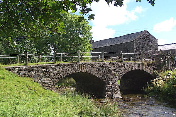 |
NY67810464 Bowderdale Bridge (Ravenstonedale / Orton S) |
|
|
 |
NY67840466 Bowderdale Bridge (Ravenstonedale) |
|
|
 |
NY67740465 Bowderdale Foot (Ravenstonedale) |
|
|
 |
NY67780447 Bowderdale Head (Ravenstonedale) |
|
|
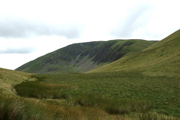 |
SD68179796 Bowderdale Head locality |
|
|
 |
NY67710400 Flass (Ravenstonedale) |
|
|
 |
NY67590378 High Ground (Ravenstonedale) |
|
|
 |
NY6701 Lodge Gill (Ravenstonedale) |
|
|
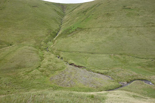 |
SD6798 Rams Gill (Ravenstonedale) |
|
|
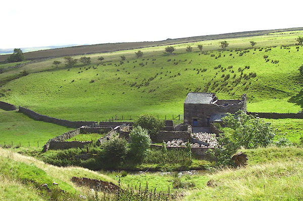 |
NY67640412 sheepfold, Bowderdale (Ravenstonedale) |
|
|
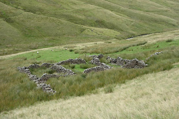 |
NY67980010 sheepfold, Ravenstonedale (Ravenstonedale) |
|
|
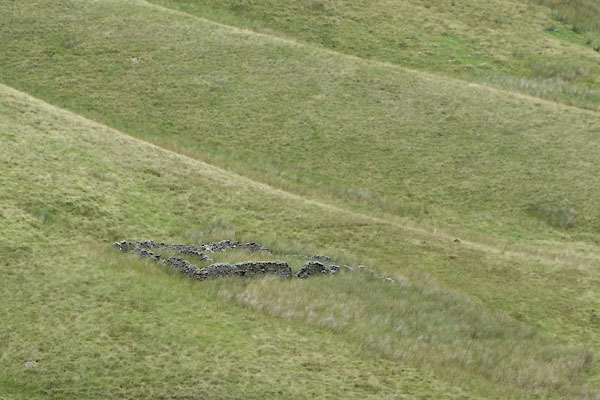 |
NY67780020 sheepfold, Ravenstonedale (2) (Ravenstonedale) |
|
|
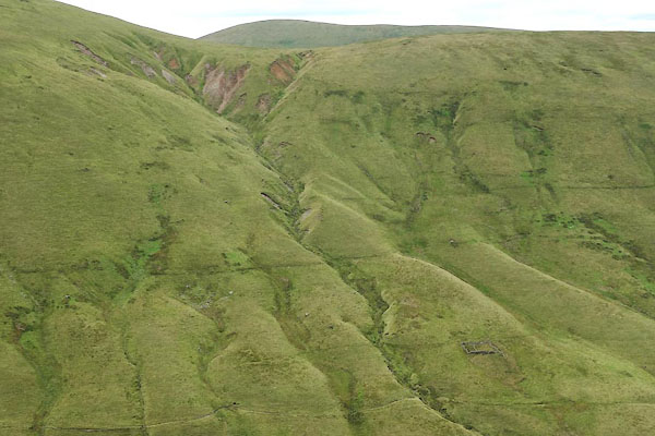 |
NY6700 Woofler Gill (Ravenstonedale) |
|
|
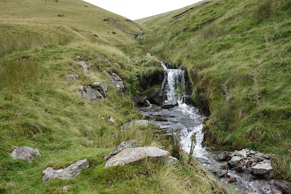 |
NY6800 Wotey Gill (Ravenstonedale) |
|
|
 |
NY6704 footbridge, Bowderdale (Ravenstonedale) |
|


