 Old Cumbria Gazetteer
 |
 |
|
| Bouth, Colton | ||
| Bouth | ||
| civil parish:- | Colton (formerly Lancashire) | |
| county:- | Cumbria | |
| locality type:- | buildings | |
| coordinates:- | SD328856 | |
| 1Km square:- | SD3285 | |
| 10Km square:- | SD38 | |
|
|
||
| evidence:- | old map:- West 1784 map placename:- Bouth |
|
| source data:- | Map, hand coloured engraving, A Map of the Lakes in Cumberland,
Westmorland and Lancashire, scale about 3.5 miles to 1 inch,
engraved by Paas, 53 Holborn, London, about 1784.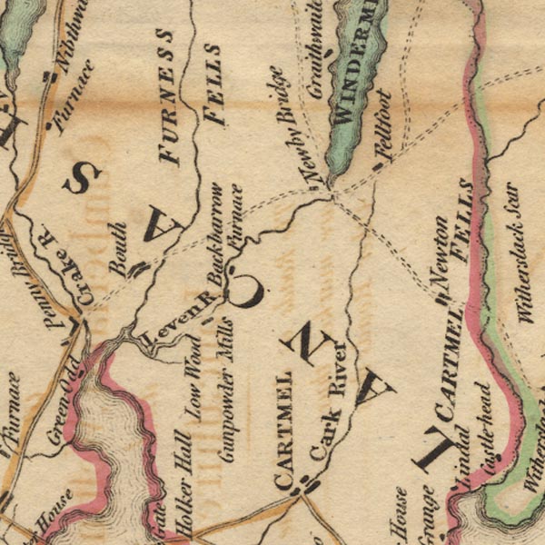 Ws02SD38.jpg item:- Armitt Library : A1221.1 Image © see bottom of page |
|
|
|
||
| evidence:- | road book:- Cary 1798 (2nd edn 1802) placename:- Booth |
|
| source data:- | Road book, itineraries, Cary's New Itinerary, by John Cary, 181
Strand, London, 2nd edn 1802. goto source goto source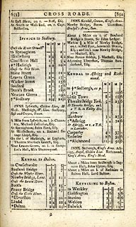 click to enlarge click to enlargeC38653.jpg page 653-654 "Booth" item:- JandMN : 228.2 Image © see bottom of page |
|
|
|
||
| evidence:- | old map:- Ford 1839 map placename:- East Coulton |
|
| source data:- | Map, uncoloured engraving, Map of the Lake District of
Cumberland, Westmoreland and Lancashire, scale about 3.5 miles
to 1 inch, published by Charles Thurnam, Carlisle, and by R
Groombridge, 5 Paternoster Row, London, 3rd edn 1843.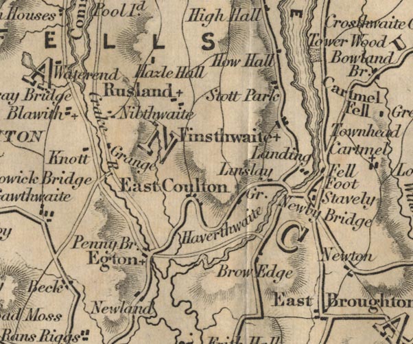 FD02SD38.jpg "East Coulton" item:- JandMN : 100.1 Image © see bottom of page |
|
|
|
||
| personal | ||
| person:- | mathematician : Taylor, Michael |
|
| place:- | birthplace | |
| date:- | ||
|
|
||
Lakes Guides menu.