 Old Cumbria Gazetteer
 |
 |
|
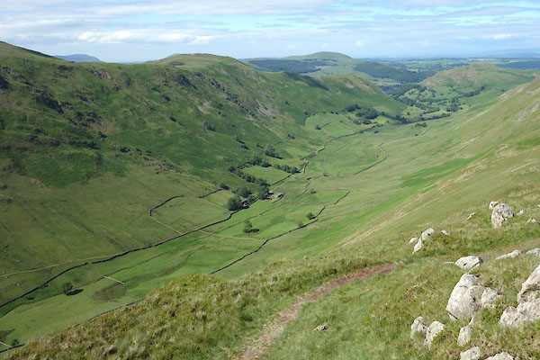
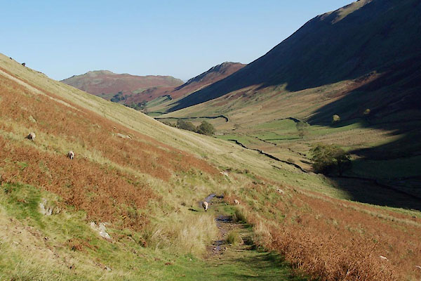
| Boredale, Martindale | ||
| Boredale | ||
| civil parish:- | Martindale (formerly Westmorland) | |
| county:- | Cumbria | |
| locality type:- | valley | |
| locality type:- | locality | |
| coordinates:- | NY421178 (etc) | |
| 1Km square:- | NY4217 | |
| 10Km square:- | NY41 | |
|
|
||
 CDM10.jpg (taken 30.6.2015) 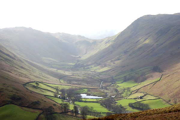 BZZ12.jpg (taken 27.2.2014) |
||
|
|
||
| evidence:- | old map:- OS County Series (Wmd 12 8) placename:- Bore Dale |
|
| source data:- | Maps, County Series maps of Great Britain, scales 6 and 25
inches to 1 mile, published by the Ordnance Survey, Southampton,
Hampshire, from about 1863 to 1948. |
|
|
|
||
| evidence:- | hearth tax returns:- Hearth Tax 1675 placename:- Bowerdale |
|
| source data:- | Records, hearth tax survey returns, Westmorland, 1674/75. "Bowerdale" in "Martindale" |
|
|
|
||
 BTS59.jpg (taken 20.10.2010) 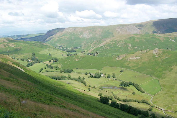 BQZ94.jpg (taken 6.7.2009) 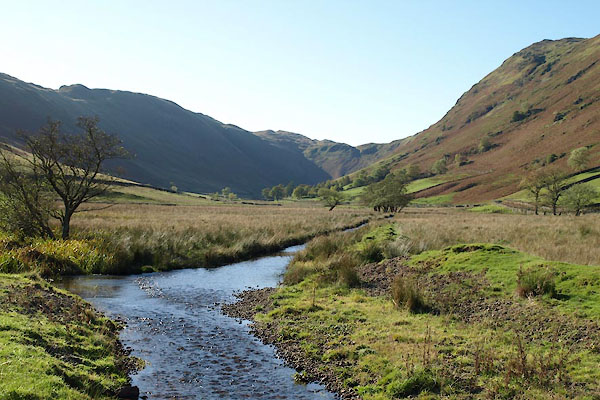 BTR51.jpg (taken 20.10.2010) 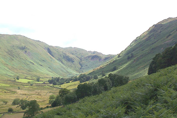 BQZ90.jpg (taken 6.7.2009) |
||
|
|
||
 Lakes Guides menu.