 Old Cumbria Gazetteer
 |
 |
|
| Bootle Fell, Bootle | ||
| Bootle Fell | ||
| civil parish:- | Bootle (formerly Cumberland) | |
| county:- | Cumbria | |
| locality type:- | hill | |
| locality type:- | fell | |
| coordinates:- | SD13398887 (etc etc) | |
| 1Km square:- | SD1388 | |
| 10Km square:- | SD18 | |
|
|
||
| evidence:- | old map:- OS County Series (Cmd 86 9) placename:- Bootle Fell |
|
| source data:- | Maps, County Series maps of Great Britain, scales 6 and 25
inches to 1 mile, published by the Ordnance Survey, Southampton,
Hampshire, from about 1863 to 1948. |
|
|
|
||
| evidence:- | possibly old map:- Donald 1774 (Cmd) placename:- Stones Head Fell |
|
| source data:- | Map, hand coloured engraving, 3x2 sheets, The County of Cumberland, scale about 1
inch to 1 mile, by Thomas Donald, engraved and published by Joseph Hodskinson, 29
Arundel Street, Strand, London, 1774.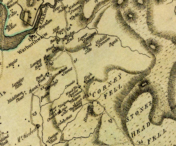 D4SD19SW.jpg 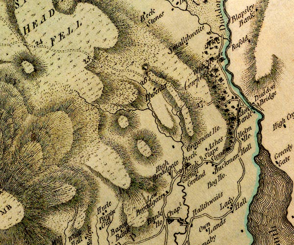 D4SD18NE.jpg "STONES HEAD FELL" hill hachuring; a hill or mountain item:- Carlisle Library : Map 2 Images © Carlisle Library |
|
|
|
||
| evidence:- | probably old map:- Postlethwaite 1877 (3rd edn 1913) placename:- Stoneside Fell |
|
| source data:- | Map, uncoloured engraving, Map of the Lake District Mining Field, Westmorland, Cumberland,
Lancashire, scale about 5 miles to 1 inch, by John Postlethwaite, published by W H
Moss and Sons, 13 Lowther Street, Whitehaven, Cumberland, 1877 edn 1913.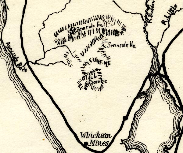 PST2SD18.jpg "Stoneside Fell" hill hachuring item:- JandMN : 162.2 Image © see bottom of page |
|
|
|
||
 Lakes Guides menu.