 Old Cumbria Gazetteer
 |
 |
|
| Boathow Crag, Ennerdale and Kinniside | ||
| Boathow Crag | ||
| civil parish:- | Ennerdale and Kinniside (formerly Cumberland) | |
| county:- | Cumbria | |
| locality type:- | rocks | |
| coordinates:- | NY10861342 (etc) | |
| 1Km square:- | NY1013 | |
| 10Km square:- | NY11 | |
|
|
||
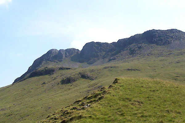 BUX43.jpg with Kirkfell Craggs to the right. (taken 4.7.2011) |
||
|
|
||
| evidence:- | old map:- OS County Series (Cmd 68 16) placename:- Boathow Crag |
|
| source data:- | Maps, County Series maps of Great Britain, scales 6 and 25
inches to 1 mile, published by the Ordnance Survey, Southampton,
Hampshire, from about 1863 to 1948. |
|
|
|
||
 Lakes Guides menu.