


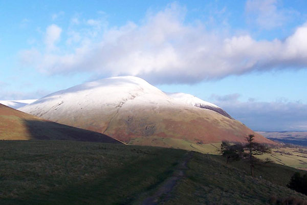
BXT27.jpg (taken 5.12.2012)
Click to enlarge
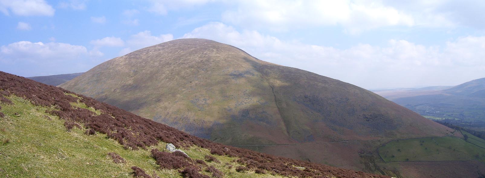
BPC33.jpg (taken 22.4.2008)

Click to enlarge
BMX41.jpg Keswick, Dodd, Skiddaw, Lonscale Fell, Blease Fell and Latrigg, viewed from the south.
(taken 23.10.2006)
placename:- Blease Fell
placename:- High Row Fell
 click to enlarge
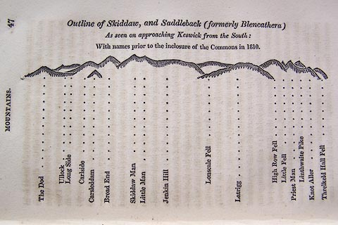
O75E01.jpg
p.47 in A Concise Description of the English Lakes, by Jonathan Otley, 4th edition, 1830. "Outline View of Skiddaw, and Saddleback (formerly Blencathera) As seen on approaching Keswick from the South: With names prior to the inclosure of the Commons in 1810."
"The Dod / Ullock / Long Side / Carleside / Carsleddam / Broad End / Skiddaw Man / Little Man / Jenkin Hill / Lonscale Fell / Latrigg / High Row Fell / Little Fell / Priest Man / Linthwaite Pike / Knot Aller / Threlkeld Hall Fell"
item:- Armitt Library : A1175.2
Image © see bottom of page
placename:- High Row Fell
 click to enlarge
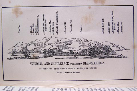
O80E16.jpg
item:- Armitt Library : A1180.17
Image © see bottom of page
placename:- High Row Fell
 click to enlarge
OT2E08.jpg
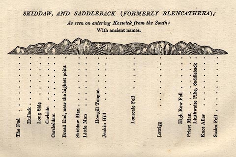
Printed on p.49 of A Concise Description of the English Lakes, by Jonathan Otley, 5th edition, 1834. "SKIDDAW, AND SADDLEBACK (FORMERLY BLENCATHRA): As seen entering Keswick from the South: With ancient names."
"The Dod / Hullock / Long Side / Carlside / Carsleddam / Broad End, near the highest point / Skiddaw Man / Little Man / Howgill Tongue / Jenkin Hill / Lonscale Fell / Latrigg / High Row Fell / Priest Man / Linthwaite Pike, Saddleback / Knot Aller / Scales Fell"
item:- JandMN : 48.9
Image © see bottom of page

 Lakes Guides menu.