 Old Cumbria Gazetteer
 |
 |
|
| Blease Fell, Tebay | ||
| Blease Fell | ||
| civil parish:- | Tebay (formerly Westmorland) | |
| county:- | Cumbria | |
| locality type:- | hill | |
| locality type:- | fell | |
| coordinates:- | NY62410045 | |
| 1Km square:- | NY6200 | |
| 10Km square:- | NY60 | |
|
|
||
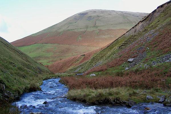 BPT97.jpg Looking down Carlin Gill. (taken 27.10.2008) 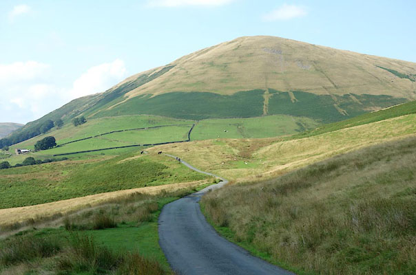 BZE14.jpg From Fairmile. (taken 25.8.2013) |
||
|
|
||
| evidence:- | old map:- OS County Series (Wmd 34 4) placename:- Blease Fell |
|
| source data:- | Maps, County Series maps of Great Britain, scales 6 and 25
inches to 1 mile, published by the Ordnance Survey, Southampton,
Hampshire, from about 1863 to 1948. |
|
|
|
||
| evidence:- | presumably outline view:- LMS 1920s placename:- Bleasdale Fell |
|
| source data:- | Hill Outline near Low Gill, published in the LMS Route Book No.3, The Track of the
Royal Scot, by the London, Midland and Scottish Railway, LMS, 1920s.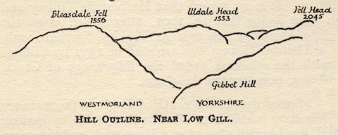 click to enlarge click to enlargeLS1E35.jpg "Bleasdale Fell / 1556" item:- JandMN : 95.8 Image © see bottom of page |
|
|
|
||
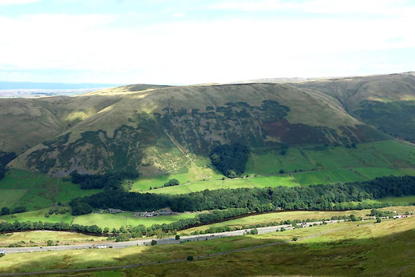 CGJ84.jpg (taken 10.8.2017) 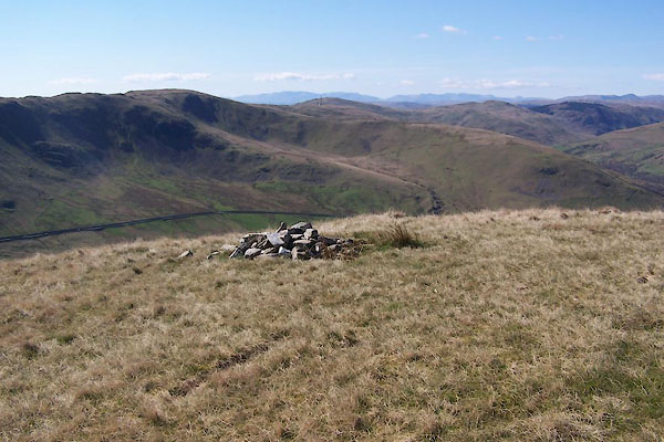 BWF47.jpg A cairn in a ?meaningless place, (taken 5.4.2012) |
||
|
|
||
 Lakes Guides menu.