 Old Cumbria Gazetteer
 |
 |
|
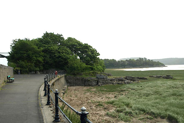
| Blawith Point, Grange-over-Sands | ||
| Blawith Point | ||
| locality:- | Promenade, The | |
| locality:- | Grange-over-Sands | |
| civil parish:- | Grange-over-Sands (formerly Lancashire) | |
| county:- | Cumbria | |
| locality type:- | headland | |
| coordinates:- | SD41617823 | |
| 1Km square:- | SD4178 | |
| 10Km square:- | SD47 | |
|
|
||
 BYR51.jpg (taken 5.7.2013) |
||
|
|
||
| evidence:- | old map:- OS County Series (Lan 17 4) placename:- Blawith Point |
|
| source data:- | Maps, County Series maps of Great Britain, scales 6 and 25
inches to 1 mile, published by the Ordnance Survey, Southampton,
Hampshire, from about 1863 to 1948. |
|
|
|
||
 Lakes Guides menu.