 |
 |
|
|
|
|
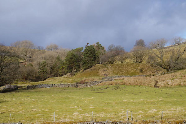
Blagill |
| civil parish:- |
Alston Moor (formerly Cumberland) |
| county:- |
Cumbria |
| locality type:- |
locality |
| locality type:- |
buildings |
| coordinates:- |
NY73934733 (etc) |
| 1Km square:- |
NY7347 |
| 10Km square:- |
NY74 |
|
|
| evidence:- |
old map:- OS County Series (Cmd 34 5)
placename:- Blagill
|
| source data:- |
Maps, County Series maps of Great Britain, scales 6 and 25
inches to 1 mile, published by the Ordnance Survey, Southampton,
Hampshire, from about 1863 to 1948.
|
|
|
| evidence:- |
old map:- Donald 1774 (Cmd)
placename:- Blagill
|
| source data:- |
Map, hand coloured engraving, 3x2 sheets, The County of Cumberland, scale about 1
inch to 1 mile, by Thomas Donald, engraved and published by Joseph Hodskinson, 29
Arundel Street, Strand, London, 1774.
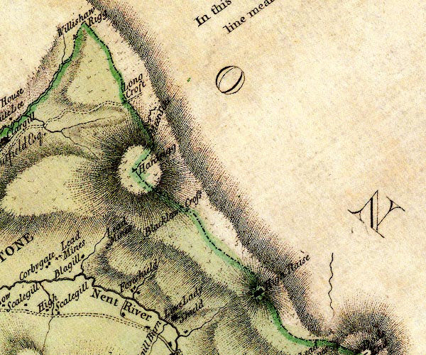
D4NY74NE.jpg
"Blagill"
block or blocks, labelled in lowercase; a hamlet or just a house
item:- Carlisle Library : Map 2
Image © Carlisle Library |
|
|
| places:- |
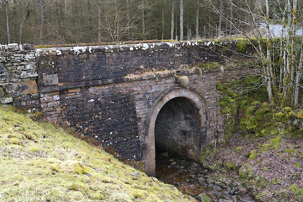 |
NY74104759 Blagill Bridge (Alston Moor) |
|
|
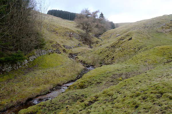 |
NY7447 Blagill Burn (Alston Moor) |
|
|
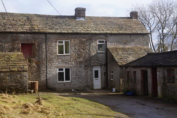 |
NY73964733 Blagill Farm (Alston Moor) |
|
|
 |
NY74344835 Blagillhead (Alston Moor) |
|
|
|
NY73954697 bridge, Blagill (Alston Moor) |
|
|
|
NY73604723 Far Hilltop (Alston Moor) |
|
|
|
NY73774733 Hilltop (Alston Moor) |
|
|
|
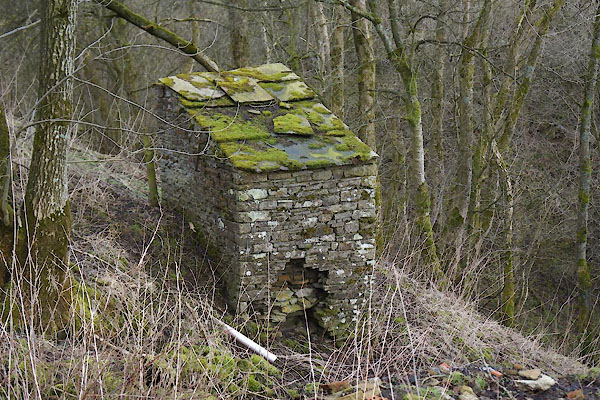
NY74024759 limekiln, Alston Moor (29) (Alston Moor) |
|
|
|
NY73844755 mines, Blagill (Alston Moor) |
|
|
|
NY74384803 mines, Blagillhead (Alston Moor) |
|
|
 |
NY73964726 privy, Blagill (Alston Moor) |
|
|
 |
NY74004710 Blagill Mine (Alston Moor) |
|
