 |
 |
   |
|
|
| runs into:- |
 Black Beck (17) Black Beck (17) |
|
|
|
Blackbeck Tarn |
| civil parish:- |
Buttermere (formerly Cumberland) |
| county:- |
Cumbria |
| locality type:- |
tarn |
| coordinates:- |
NY20201279 |
| 1Km square:- |
NY2012 |
| 10Km square:- |
NY21 |
| altitude:- |
1598 feet |
| altitude:- |
487m |
|
|
|
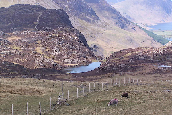
BSU21.jpg (taken 17.5.2010)
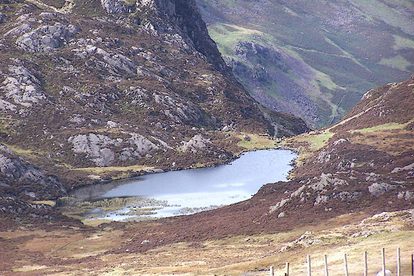
BMR63.jpg From about Brandreth.
(taken 22.9.2006)
|
|
|
| evidence:- |
old print:- Pyne 1853
|
| source data:- |
Print, tinted lithograph, Crummock Water, The Vales of Ennerdale and Buttermere, Cumberland,
by James Baker Pyne, engraved by W Gauci, published by Thomas Agnew and Sons, Manchester,
Lancashire, 1853.
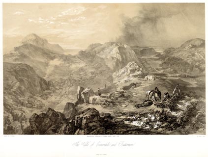 click to enlarge click to enlarge
PYN221.jpg
"PAINTED BY J. B. PYNE. / W. GAUCI LITH. / MANCHESTER, PUBLISHED BY THOMAS AGNEW &
SONS, 1853. / The Vales of Ennerdale and Buttermere / M & N HANHART IMPT."
item:- Armitt Library : A6678.22
Image © see bottom of page
|
|
|
| evidence:- |
old print:- Pyne 1853
|
| source data:- |
Print, coloured lithograph, Crummock Water, The Vales of Ennerdale and Buttermere,
Cumberland, by James Baker Pyne, engraved by W Gauci, published by Thomas Agnew and
Sons, Manchester, Lancashire, 1853.
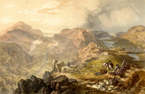 click to enlarge click to enlarge
PYN421.jpg
item:- Armitt Library : A6677.22
Image © see bottom of page
|
|
|
| evidence:- |
probably old print:- Pyne 1853
|
| source data:- |
Drawn by James Barker Pyne, 1848-1853, lithographed by T Picken, 1859.
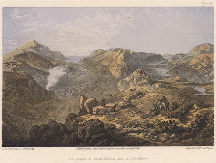 click to enlarge click to enlarge
PY15.jpg
"Vales of Ennerdale and Buttermere"
item:- JandMN : 97.14
Image © see bottom of page
|
|
|


 Black Beck (17)

 click to enlarge
 click to enlarge
 click to enlarge