 Old Cumbria Gazetteer
 |
 |
|
| Birkhill, Wetheral | ||
| Birkhill | ||
| civil parish:- | Wetheral (formerly Cumberland) | |
| county:- | Cumbria | |
| locality type:- | buildings | |
| coordinates:- | NY47745399 | |
| 1Km square:- | NY4753 | |
| 10Km square:- | NY45 | |
|
|
||
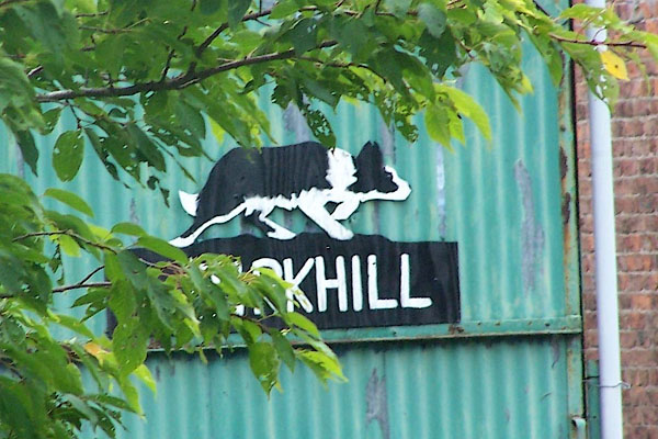 BOD27.jpg Farm sign. (taken 7.9.2007) |
||
|
|
||
| evidence:- | old map:- OS County Series (Cmd 24 7) placename:- Birkhill |
|
| source data:- | Maps, County Series maps of Great Britain, scales 6 and 25
inches to 1 mile, published by the Ordnance Survey, Southampton,
Hampshire, from about 1863 to 1948. |
|
|
|
||
| evidence:- | database:- Listed Buildings 2010 placename:- Birkhill Farm |
|
| source data:- | courtesy of English Heritage "BIRKHILL FARMHOUSE AND ATTACHED FARMBUILDINGS TO SOUTH / / / WETHERAL / CARLISLE / CUMBRIA / II / 77787 / NY4774653997" |
|
|
|
||
 Lakes Guides menu.