 Old Cumbria Gazetteer
 |
 |
|
| High Biggersbank, Whitwell and Selside | ||
| High Biggersbank | ||
| civil parish:- | Whitwell and Selside (formerly Westmorland) | |
| county:- | Cumbria | |
| locality type:- | buildings | |
| coordinates:- | SD54949861 | |
| 1Km square:- | SD5498 | |
| 10Km square:- | SD59 | |
|
|
||
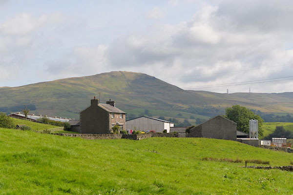 CGI60.jpg (taken 10.8.2017) |
||
|
|
||
| evidence:- | old map:- OS County Series (Wmd 34 5) placename:- High Biggersbank placename:- Biggersbank, High |
|
| source data:- | Maps, County Series maps of Great Britain, scales 6 and 25
inches to 1 mile, published by the Ordnance Survey, Southampton,
Hampshire, from about 1863 to 1948. |
|
|
|
||
| evidence:- | hearth tax returns:- Hearth Tax 1675 placename:- Beggerbanke |
|
| source data:- | Records, hearth tax survey returns, Westmorland, 1674/75. "Beggerbanke" in "Whitfell and selside" |
|
|
|
||
 Lakes Guides menu.