 Old Cumbria Gazetteer
 |
 |
|
| Bellgate, Casterton | ||
| Bellgate | ||
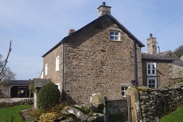
| Bellgate Farm | ||
| Street:- | Bents Lane | |
| civil parish:- | Casterton (formerly Westmorland) | |
| county:- | Cumbria | |
| locality type:- | buildings | |
| coordinates:- | SD63258073 | |
| 1Km square:- | SD6380 | |
| 10Km square:- | SD68 | |
|
|
||
 CFY27.jpg (taken 24.3.2017) 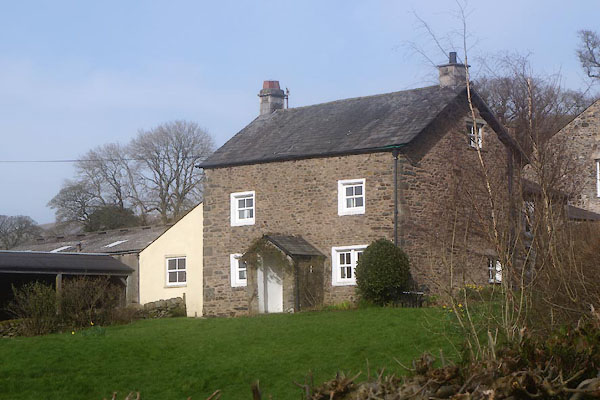 CFY26.jpg (taken 24.3.2017) |
||
|
|
||
| evidence:- | old map:- OS County Series (Wmd 48 1) placename:- Bellgate |
|
| source data:- | Maps, County Series maps of Great Britain, scales 6 and 25
inches to 1 mile, published by the Ordnance Survey, Southampton,
Hampshire, from about 1863 to 1948. |
|
|
|
||
| evidence:- | database:- Listed Buildings 2010 placename:- Bellgate Farm |
|
| source data:- | courtesy of English Heritage "BELLGATE FARMHOUSE / / BENTS LANE / CASTERTON / SOUTH LAKELAND / CUMBRIA / II / 75614 / SD6324880726" |
|
|
|
||
 Lakes Guides menu.