 Old Cumbria Gazetteer
 |
 |
|
| Beda Head, Martindale | ||
| Beda Head | ||
| locality:- | Martindale Common | |
| civil parish:- | Martindale (formerly Westmorland) | |
| county:- | Cumbria | |
| locality type:- | hill | |
| coordinates:- | NY42791708 (etc) | |
| 1Km square:- | NY4217 | |
| 10Km square:- | NY41 | |
| altitude:- | 1670 feet | |
| altitude:- | 509m | |
|
|
||
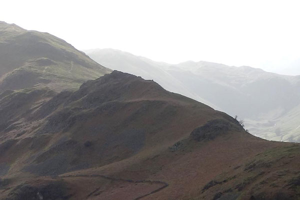 BZZ10.jpg (taken 27.2.2014) 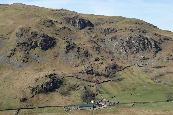 CCU86.jpg and Thrang Crag, Ewe Crag, Allen Crag, Raven Crag. (taken 8.4.2015) |
||
|
|
||
| evidence:- | old map:- OS County Series (Wmd 12 12) placename:- Beda Head |
|
| source data:- | Maps, County Series maps of Great Britain, scales 6 and 25
inches to 1 mile, published by the Ordnance Survey, Southampton,
Hampshire, from about 1863 to 1948. |
|
|
|
||
 Lakes Guides menu.