 Old Cumbria Gazetteer
 |
 |
|
| beacon, Rampside | ||
| locality:- | Rampside | |
| civil parish:- | Barrow-in-Furness (formerly Lancashire) | |
| county:- | Cumbria | |
| locality type:- | beacon | |
| locality type:- | lighthouse (?) | |
| coordinates:- | SD24146623 | |
| 1Km square:- | SD2466 | |
| 10Km square:- | SD26 | |
|
|
||
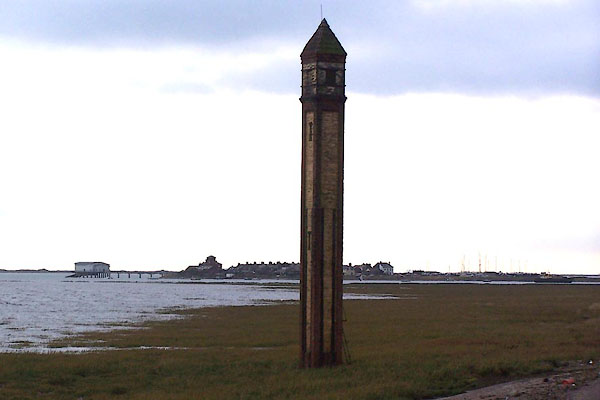 BJY32.jpg Piel Island and Roa Island in the background. (taken 21.10.2005) |
||
|
|
||
| evidence:- | database:- Listed Buildings 2010 placename:- Leading Light No.4 |
|
| source data:- | courtesy of English Heritage "NUMBER 4 LEADING LIGHT ON FORESHORE NEAR RAMPSIDE HALL / / RAMPSIDE / BARROW IN FURNESS / BARROW IN FURNESS / CUMBRIA / II / 388563 / SD2413966237" |
|
| source data:- | courtesy of English Heritage "Navigation beacon. c1875. Red and yellow brick. Slender, square tower approx 20m in height. Clasping, red brick pilaster strips and yellow brick side panels with iron straps that project up from concrete foundation; iron access door and small slit windows. Corbelled brickwork beneath yellow brick lantern housing with iron strapping and rectangular panels on each side. More corbelling beneath brick, pyramidal roof. Similar leading lights were built on Foulney Island and off Carr Lane, Walney Island (both now demolished). The alignment of the lights assisted the approach to Barrow-in-Furness." |
|
|
|
||
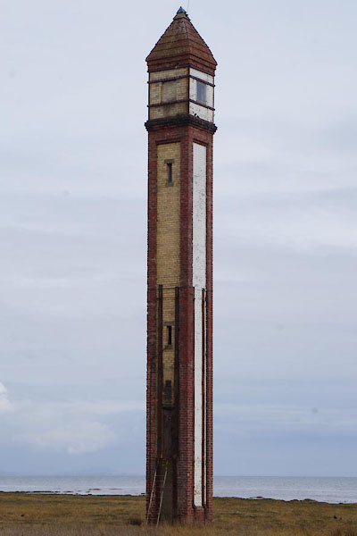 CAG29.jpg (taken 4.4.2014) 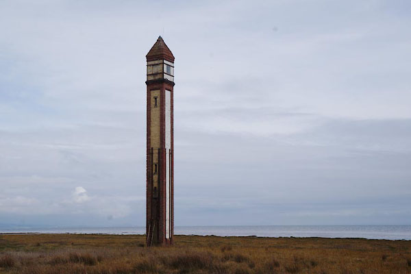 CAG28.jpg (taken 4.4.2014) |
||
|
|
||
| hearsay:- |
This unmanned beacon is a leading light for the Walney Channel. |
|
|
|
||
 Lakes Guides menu.