 Old Cumbria Gazetteer
 |
 |
|
| Beacon, Blawith and Subberthwaite | ||
| Beacon | ||
| Blawith Beacon | ||
| locality:- | Blawith Fells | |
| civil parish:- | Blawith and Subberthwaite (formerly Lancashire) | |
| county:- | Cumbria | |
| locality type:- | hill | |
| locality type:- | beacon (site?) | |
| coordinates:- | SD27829073 (etc) | |
| 1Km square:- | SD2790 | |
| 10Km square:- | SD29 | |
| altitude:- | 837 feet | |
| altitude:- | 255m | |
|
|
||
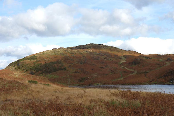 CGU09.jpg (taken 18.10.2017) 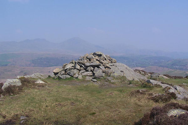 BUI93.jpg Cairn, perhaps the beacon site. (taken 19.4.2011) |
||
|
|
||
| evidence:- | old map:- OS County Series (Lan 7 3) placename:- Beacon |
|
| source data:- | Maps, County Series maps of Great Britain, scales 6 and 25
inches to 1 mile, published by the Ordnance Survey, Southampton,
Hampshire, from about 1863 to 1948. |
|
|
|
||
| evidence:- | old painting:- Penn 1730s |
|
| source data:- |  click to enlarge click to enlargePEN4Msc1.jpg item:- Whitworth Art Gallery : D194.1 Image © see bottom of page |
|
|
|
||
| hearsay:- |
The site of the watch Tower of Arthur Ransome. |
|
|
|
||
 Lakes Guides menu.