 Old Cumbria Gazetteer
 |
 |
|
||||||||||||||||||||||||
| Beacon Hill, Penrith | ||||||||||||||||||||||||||
| Beacon Hill | ||||||||||||||||||||||||||
| locality:- | Penrith | |||||||||||||||||||||||||
| civil parish:- | Penrith (formerly Cumberland) | |||||||||||||||||||||||||
| county:- | Cumbria | |||||||||||||||||||||||||
| locality type:- | hill | |||||||||||||||||||||||||
| coordinates:- | NY52473132 (etc) | |||||||||||||||||||||||||
| 1Km square:- | NY5231 | |||||||||||||||||||||||||
| 10Km square:- | NY53 | |||||||||||||||||||||||||
|
|
||||||||||||||||||||||||||
| evidence:- | old map:- Saxton 1579 |
|||||||||||||||||||||||||
| source data:- | Map, hand coloured engraving, Westmorlandiae et Cumberlandiae Comitatus ie Westmorland
and Cumberland, scale about 5 miles to 1 inch, by Christopher Saxton, London, engraved
by Augustinus Ryther, 1576, published 1579-1645.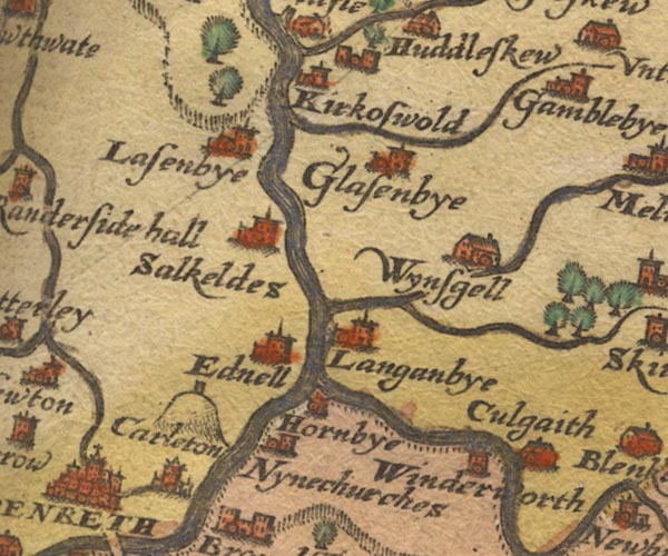 Sax9NY53.jpg With beacon tower. item:- private collection : 2 Image © see bottom of page |
|||||||||||||||||||||||||
|
|
||||||||||||||||||||||||||
| evidence:- | old map:- Morden 1695 (Cmd) |
|||||||||||||||||||||||||
| source data:- | Map, uncoloured engraving, Cumberland, scale about 4 miles to 1
inch, by Robert Morden, 1695, published by Abel Swale, the
Unicorn, St Paul's Churchyard, Awnsham, and John Churchill, the
Black Swan, Paternoster Row, London, 1695-1715.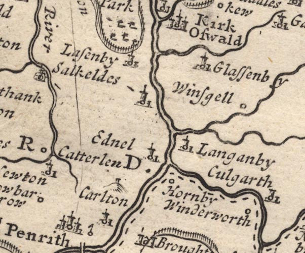 MD12NY53.jpg Hillock with a small tower. item:- JandMN : 90 Image © see bottom of page |
|||||||||||||||||||||||||
|
|
||||||||||||||||||||||||||
| evidence:- | descriptive text:- West 1778 (11th edn 1821) |
|||||||||||||||||||||||||
| source data:- | Guide book, A Guide to the Lakes, by Thomas West, published by
William Pennington, Kendal, Cumbria once Westmorland, and in
London, 1778 to 1821. goto source goto sourcePage 172:- "..." "From the beacon [Penrith] the views are many, all extensive and vast. The eye is in the centre of a plain, inclosed with a circle of stupendous mountains of various forms. The plain is adorned with many ancient towns, and more ancient castles, stations, and castellums, where the Roman eagle long displayed her wings; but which are now possessed by a happier people, who enjoy, with freedom," goto sourcePage 173:- "all the refinements of liberal taste and flourishing industry." "..." goto sourcePage 190:- "A TABLE OF THE Height of Mountains and Lakes SEEN IN THIS TOUR, ... TAKEN FROM THE LEVEL OF THE SEA. ... by Mr. John Dalton." "Penrith Beacon ... 340 [yards]" goto sourceAddendum; Mr Gray's Journal, 1769 Page 200:- "... at Penrith, ... In the afternoon walked up beacon-hill, a mile to the top, and could see Ulls-water through an opening in the bosom of that cluster of broken mountains, which the Dr. well remembers, Whinfield and Lowther parks, &c. and the craggy tops of an hundred nameless hills: these lie to the west and south. To the north, a great extent of black and dreary plains. To the east, Cross-fell, just visible through mists and vapours hovering round it." |
|||||||||||||||||||||||||
|
|
||||||||||||||||||||||||||
| evidence:- | descriptive text:- Baker 1802 item:- races |
|||||||||||||||||||||||||
| source data:- | Perspective road map with sections in Lancashire, Westmorland,
and Cumberland, by J Baker, London 1802. pp.25-26:- "..." "Penrith is situated beneath some verdurous heights that stretch from it towards the east; one point of which is decorated with a fancy building, commonly called the Beacon. From this spot is a most interesting view if the adjacent country, and hereon are the annual races of the town. ..." |
|||||||||||||||||||||||||
|
|
||||||||||||||||||||||||||
| evidence:- | old map:- Baker 1802 |
|||||||||||||||||||||||||
| source data:- | Perspective road maps with sections in Lancashire, Westmorland
and Cumberland, by J Baker, London 1802. Bk03Vg04.jpg item:- private collection : 3 Image © see bottom of page |
|||||||||||||||||||||||||
|
|
||||||||||||||||||||||||||
| evidence:- | descriptive text:- Ford 1839 (3rd edn 1843) placename:- Penrith Beacon item:- altitude, Beacon Hill |
|||||||||||||||||||||||||
| source data:- | Guide book, A Description of Scenery in the Lake District, by
Rev William Ford, published by Charles Thurnam, Carlisle, by W
Edwards, 12 Ave Maria Lane, Charles Tilt, Fleet Street, William
Smith, 113 Fleet Street, London, by Currie and Bowman,
Newcastle, by Bancks and Co, Manchester, by Oliver and Boyd,
Edinburgh, and by Sinclair, Dumfries, 1839. goto source Page 178:- "ELEVATION OF THE MOUNTAINS," "ACCORDING TO DIFFERENT AUTHORITIES."
|
|||||||||||||||||||||||||
|
|
||||||||||||||||||||||||||
Lakes Guides menu.